UN/LOCODE hub · United States
USYYQ
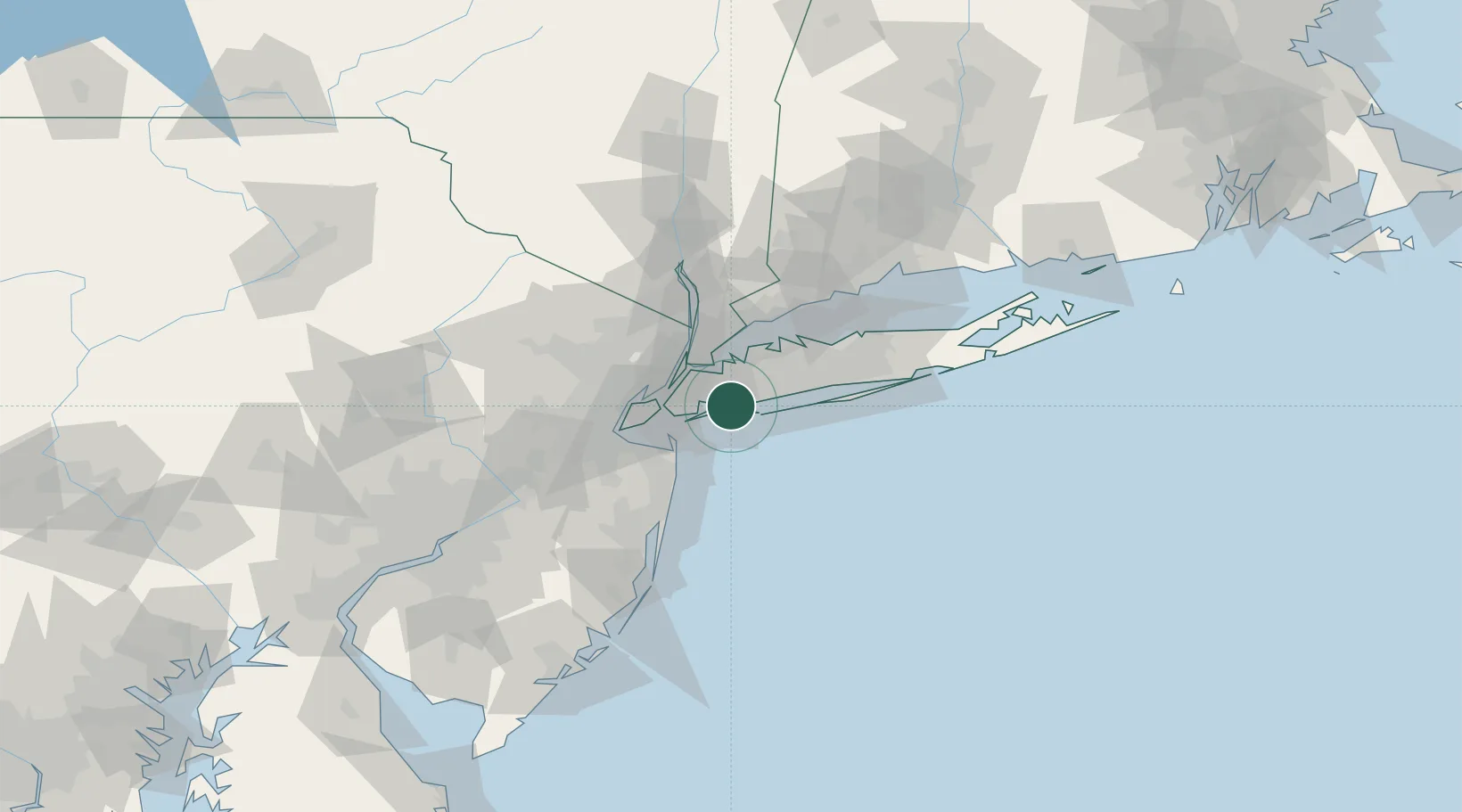
Cedarhurst
40.6167°, -73.7167°
6,682
Population
1
Transport functions
Transport Functions
Multimodal
Hub Profile
Place type
Populated place
Region
New York
Population
6,682
Time zone
America/New_York
Elevation
8 m
Location
Nearby Logistics Neighbours
Cities
- 1Lawrence0 km
- 2Woodmere1 km
- 3Far Rockaway, Queens3 km
- 4Hewlett5 km
- 5Springfield Gardens6 km
Ports
- 1Brooklyn26 km
- 2City Island27 km
- 3New York City27 km
- 4Jersey City29 km
- 5Hoboken29 km
Airports
Trade Zones
DatabookThe Record of Consolidated Knowledge
United States beyond logistics?