Transport Functions
Port
Rail
Road
Multimodal
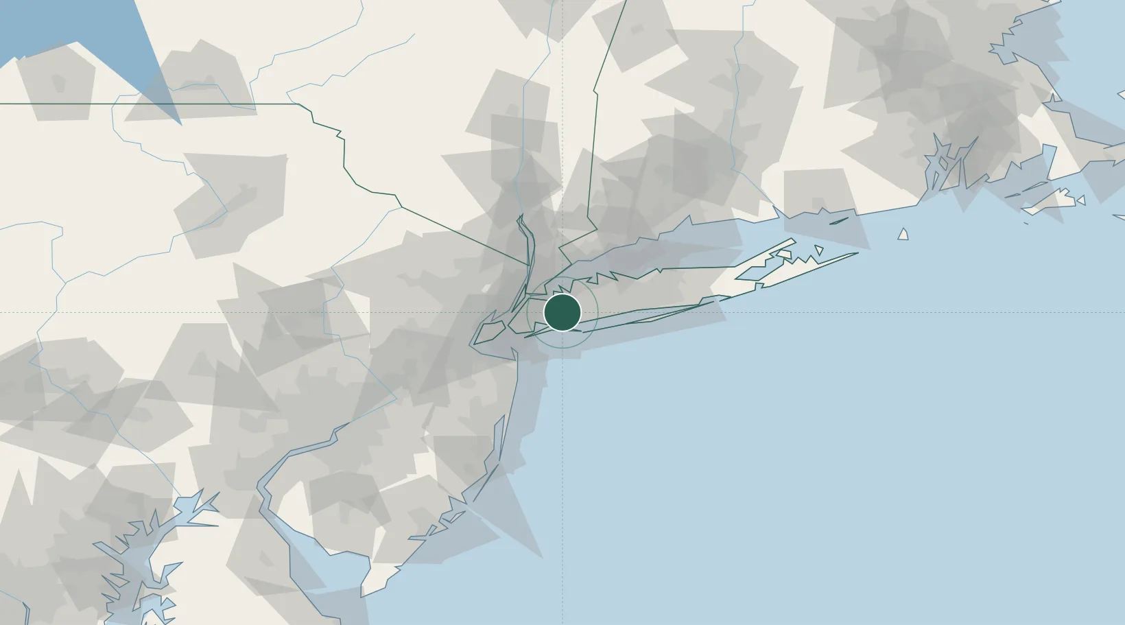
Hub Profile
Place type
Populated place
Region
New York
Population
33,198
Time zone
America/New_York
Elevation
12 m
Location
Nearby Logistics Neighbours
Cities
- 1Glen Oaks4 km
- 2West Hempstead4 km
- 3Springfield Gardens5 km
- 4Laurelton6 km
- 5Hewlett6 km
Ports
- 1City Island18 km
- 2New York City27 km
- 3Brooklyn27 km
- 4Edgewater27 km
- 5Hoboken27 km
Airports
Trade Zones
DatabookThe Record of Consolidated Knowledge
United States beyond logistics?