UN/LOCODE hub · United States
USOVD
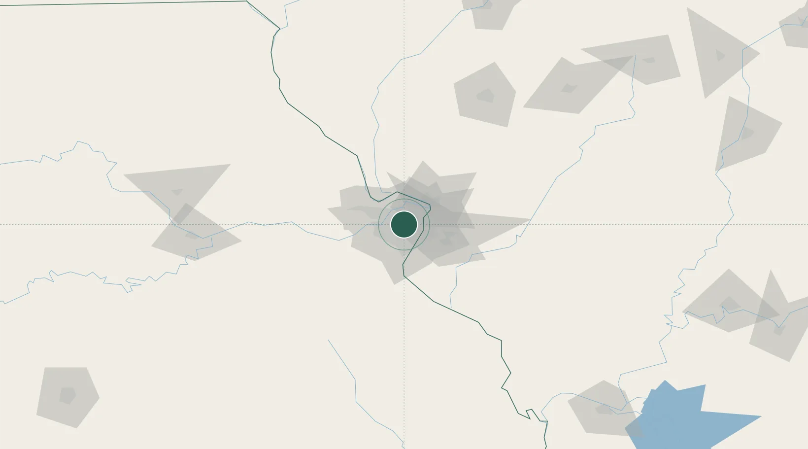
Overland
38.6833°, -90.3667°
15,959
Population
3
Transport functions
Transport Functions
Rail
Road
Multimodal
Hub Profile
Place type
Populated place
Region
Missouri
Population
15,959
Time zone
America/Chicago
Elevation
195 m
Location
Nearby Logistics Neighbours
Ports
- 1Port Of Memphis403 km
- 2Indiana Harbor415 km
- 3Gary416 km
- 4Calumet Harbor417 km
- 5Chicago426 km
Airports
Trade Zones
- 1FTZ No. 031 Granite City16 km
- 2FTZ No. 102 St. Louis County30 km
- 3FTZ No. 245 Decatur172 km
- 4FTZ No. 114 Peoria233 km
- 5FTZ No. 294 Western Kentucky238 km
DatabookThe Record of Consolidated Knowledge
United States beyond logistics?