Transport Functions
Rail
Road
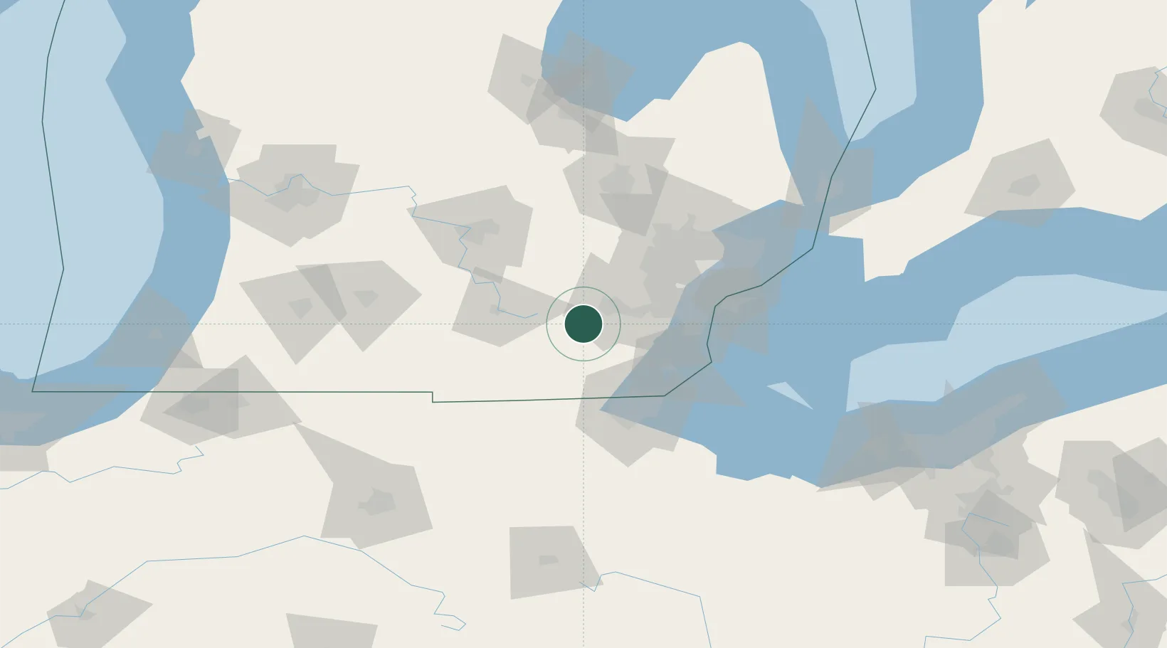
Hub Profile
Place type
Populated place
Region
Michigan
Time zone
America/Detroit
Elevation
277 m
Location
Nearby Logistics Neighbours
Cities
- 1Dexter19 km
- 2Willis29 km
- 3Willow Run29 km
- 4Onsted30 km
- 5Westville32 km
Ports
- 1Monroe56 km
- 2Trenton61 km
- 3Wyandotte62 km
- 4Toledo63 km
- 5Amherstburg66 km
Airports
Trade Zones
- 1FTZ No. 070 Detroit58 km
- 2FTZ No. 008 Toledo65 km
- 3Windsor - Essex Foreign Trade Zone74 km
- 4FTZ No. 284 Genesee County93 km
- 5FTZ No. 140 Flint95 km
DatabookThe Record of Consolidated Knowledge
United States beyond logistics?