UN/LOCODE hub · United States
USEIO
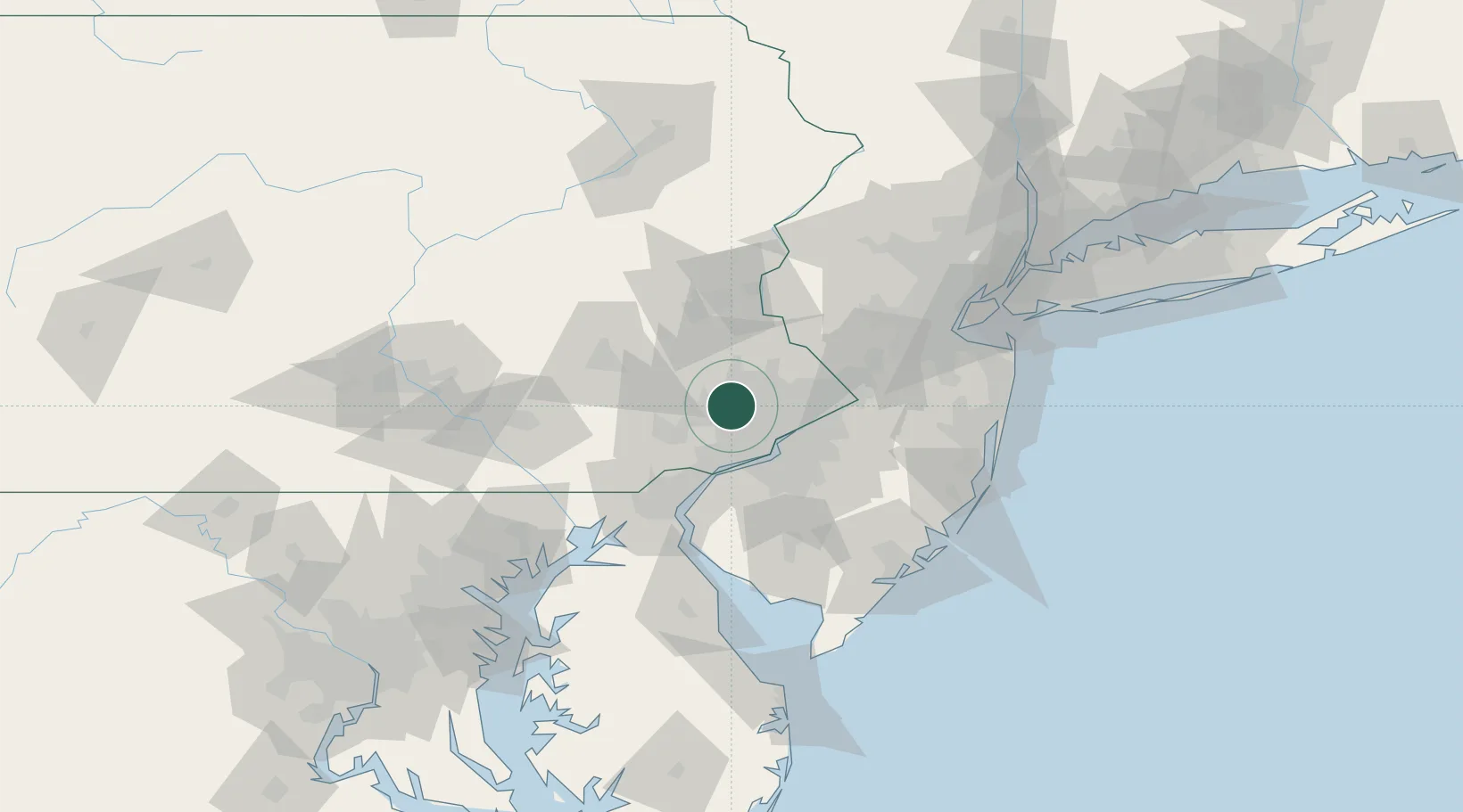
East Norriton
40.1333°, -75.3333°
13,590
Population
3
Transport functions
Transport Functions
Rail
Road
Multimodal
Hub Profile
Place type
Populated place
Region
Pennsylvania
Population
13,590
Time zone
America/New_York
Elevation
75 m
Location
Nearby Logistics Neighbours
Cities
- 1Eagleville6 km
- 2Lafayette Hill7 km
- 3Rahns12 km
- 4Gladwyne13 km
- 5Ardmore15 km
Ports
- 1Philadelphia27 km
- 2Camden27 km
- 3Gloucester31 km
- 4Chester32 km
- 5Paulsboro32 km
Airports
Trade Zones
DatabookThe Record of Consolidated Knowledge
United States beyond logistics?