Transport Functions
Multimodal
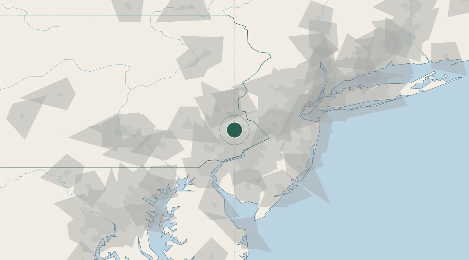
Hub Profile
Place type
Populated place
Region
Pennsylvania
Time zone
America/New_York
Elevation
118 m
Location
Nearby Logistics Neighbours
Cities
- 1Hatfield, Montgomery4 km
- 2Perkasie10 km
- 3Dublin10 km
- 4Sellersville11 km
- 5Ivyland18 km
Ports
- 1Philadelphia38 km
- 2Camden38 km
- 3Burlington39 km
- 4Bristol40 km
- 5Trenton42 km
Airports
Trade Zones
DatabookThe Record of Consolidated Knowledge
United States beyond logistics?