Transport Functions
Port
Multimodal
Hub Profile
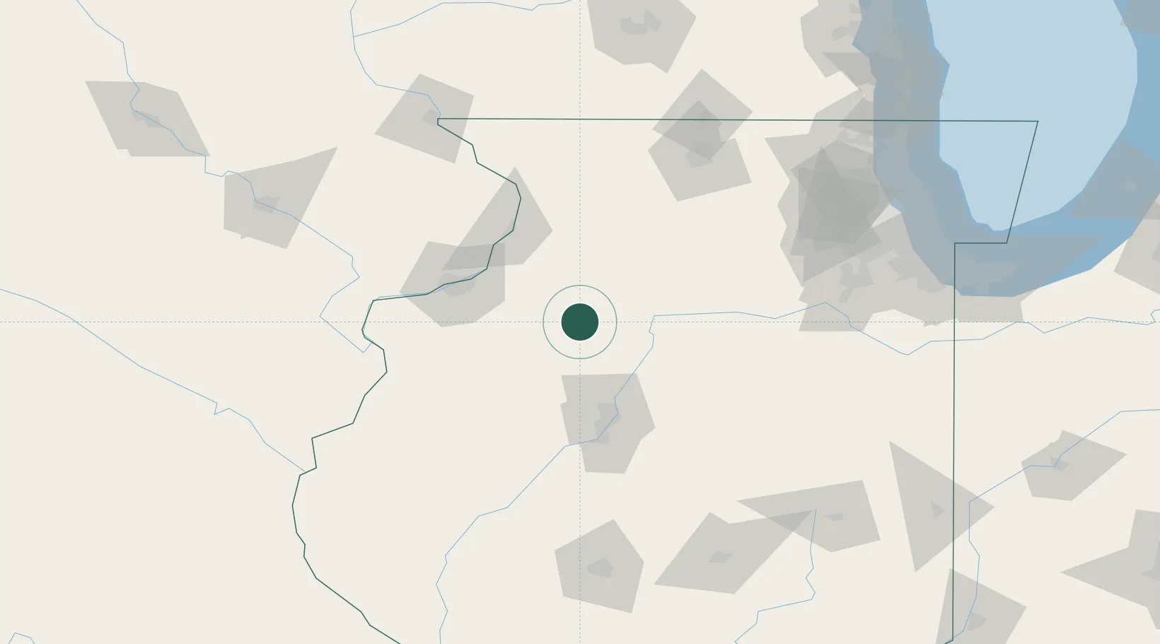
Place type
Populated place
Region
Illinois
Population
446
Time zone
America/Chicago
Elevation
252 m
Location
Nearby Logistics Neighbours
Cities
- 1Buda10 km
- 2Lafayette26 km
- 3La Fayette26 km
- 4Princeton29 km
- 5Geneseo35 km
Ports
- 1Chicago194 km
- 2Calumet Harbor195 km
- 3Wilmette196 km
- 4Great Lakes197 km
- 5Indiana Harbor200 km
Airports
Trade Zones
- 1FTZ No. 114 Peoria67 km
- 2FTZ No. 176 Rockford118 km
- 3FTZ No. 271 Jo-Daviess and Carroll Counties121 km
- 4FTZ No. 055 Burlington122 km
- 5FTZ No. 245 Decatur170 km
DatabookThe Record of Consolidated Knowledge
United States beyond logistics?