UN/LOCODE hub · United States
USLA7

Lafayette

41.1000°, -89.9667°
223
Population
1
Transport functions

Transport Functions

Multimodal
UN/LOCODE

Hub Profile

Place type
Populated place
GeoNames
Region
Illinois
GeoNames
Population
223
GeoNames
Time zone
America/Chicago
GeoNames
Elevation
243 m
GeoNames

Location

Location of USLA7
Natural Earth 10m (public domain) · Illinois · USLA7 · 41.10, -89.97GoogleOSMYandex

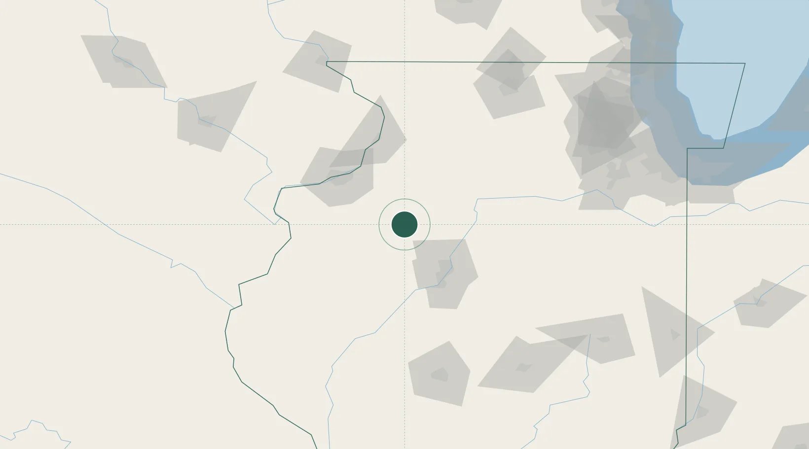
Nearby Logistics Neighbours

Cities
  1. 1La Fayette0 km
  2. 2Neponset26 km
  3. 3Princeville26 km
  4. 4Buda35 km
  5. 5Alpha37 km
Nearest neighbours — logibook spatial index (haversine) over the source coordinates
Ports
  1. 1Chicago216 km
  2. 2Calumet Harbor216 km
  3. 3Wilmette219 km
  4. 4Indiana Harbor221 km
  5. 5Great Lakes222 km
Nearest neighbours — logibook spatial index (haversine) over the source coordinates
Trade Zones
  1. 1FTZ No. 114 Peoria55 km
  2. 2FTZ No. 055 Burlington101 km
  3. 3FTZ No. 271 Jo-Daviess and Carroll Counties137 km
  4. 4FTZ No. 176 Rockford143 km
  5. 5FTZ No. 245 Decatur158 km
Nearest neighbours — logibook spatial index (haversine) over the source coordinates
DatabookThe Record of Consolidated Knowledge
United States beyond logistics?
Browse databook

All Sources

LocationsUN/LOCODE
UN/LOCODE — free
LocationsGeoNames
CC BY 4.0
Portsthe NGA World Port Index
Public domain (US gov)
AirportsOurAirports
Public domain
Trade Zonesthe World Bank SEZ database
CC BY 4.0
Trade ZonesOpen Zone Map
CC BY
← United States locations