UN/LOCODE hub · United States
USOMM

Commerce Township

42.5667°, -83.4833°
2
Transport functions

Transport Functions

Port
Road
UN/LOCODE

Hub Profile

Region
MI
GeoNames

Location

Location of USOMM
Natural Earth 10m (public domain) · MI · USOMM · 42.57, -83.48GoogleOSMYandex

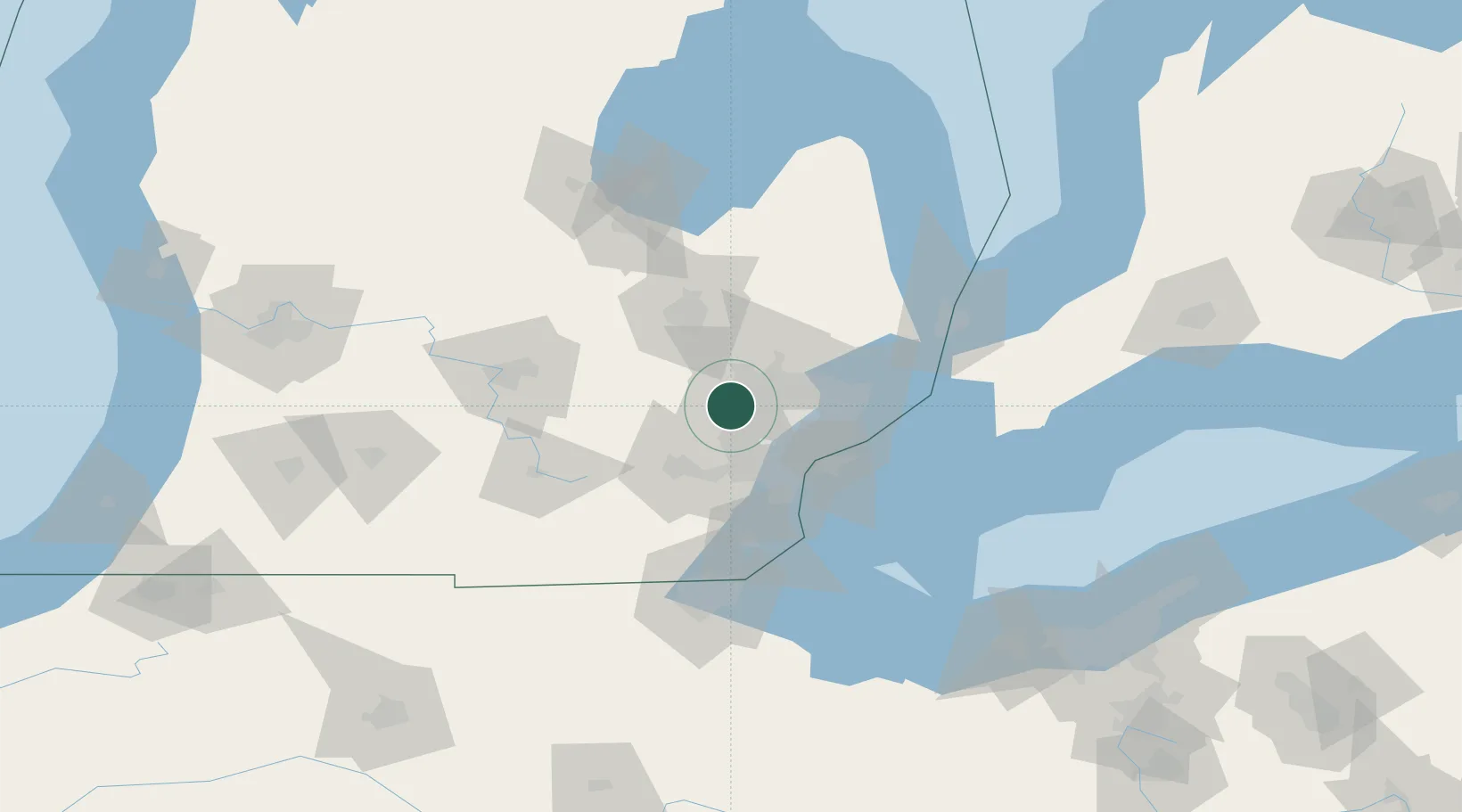
Nearby Logistics Neighbours

Cities
  1. 1Milford10 km
  2. 2New Hudson12 km
  3. 3Keego Harbor13 km
  4. 4Highland13 km
  5. 5White Lake14 km
Nearest neighbours — logibook spatial index (haversine) over the source coordinates
Ports
  1. 1Detroit45 km
  2. 2Windsor46 km
  3. 3Wyandotte49 km
  4. 4Trenton55 km
  5. 5Amherstburg61 km
Nearest neighbours — logibook spatial index (haversine) over the source coordinates
Airports
  1. 1Oakland County International Airport12 km
  2. 2Willow Run Airport37 km
  3. 3Detroit Metropolitan Wayne County Airport41 km
  4. 4Coleman A. Young Municipal Airport43 km
  5. 5Bishop International Airport50 km
Nearest neighbours — logibook spatial index (haversine) over the source coordinates
Trade Zones
  1. 1FTZ No. 070 Detroit31 km
  2. 2Windsor - Essex Foreign Trade Zone47 km
  3. 3FTZ No. 140 Flint55 km
  4. 4FTZ No. 284 Genesee County63 km
  5. 5FTZ No. 210 St. Clair County83 km
Nearest neighbours — logibook spatial index (haversine) over the source coordinates
DatabookThe Record of Consolidated Knowledge
United States beyond logistics?
Browse databook

All Sources

LocationsUN/LOCODE
UN/LOCODE — free
Portsthe NGA World Port Index
Public domain (US gov)
AirportsOurAirports
Public domain
Trade Zonesthe World Bank SEZ database
CC BY 4.0
Trade ZonesOpen Zone Map
CC BY
← United States locations