UN/LOCODE hub · United States
USPYD
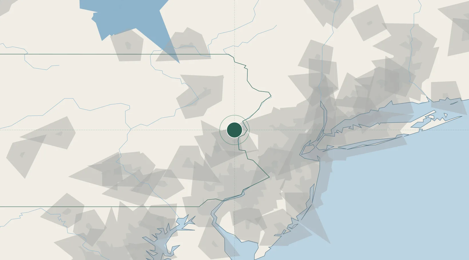
Pen Argyl
40.8667°, -75.2500°
3,541
Population
2
Transport functions
Transport Functions
Rail
Road
Hub Profile
Place type
Populated place
Region
Pennsylvania
Population
3,541
Time zone
America/New_York
Elevation
253 m
Location
Nearby Logistics Neighbours
Cities
- 1Bangor3 km
- 2East Bangor6 km
- 3Jackson12 km
- 4Mount Bethel13 km
- 5Columbia15 km
Ports
- 1Trenton85 km
- 2Sayreville87 km
- 3Sewaren91 km
- 4Bristol92 km
- 5Port Reading92 km
Airports
Trade Zones
DatabookThe Record of Consolidated Knowledge
United States beyond logistics?