UN/LOCODE hub · United States
USHRQ
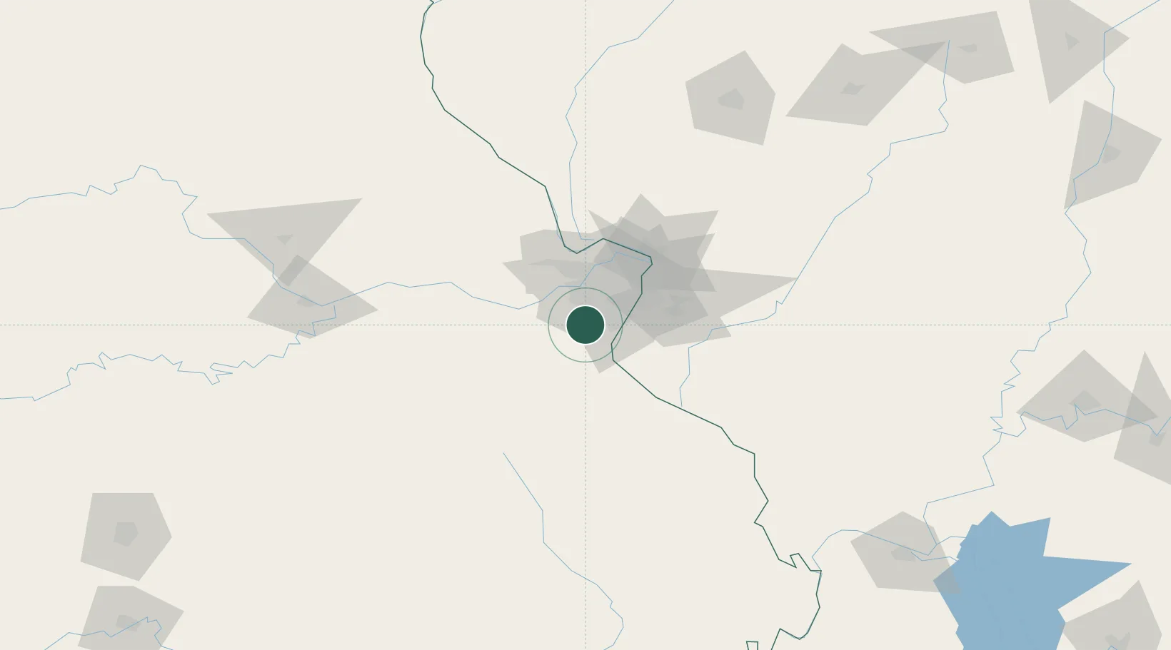
High Ridge
38.4500°, -90.5333°
4,305
Population
3
Transport functions
Transport Functions
Port
Road
Multimodal
Hub Profile
Place type
Populated place
Region
Missouri
Population
4,305
Time zone
America/Chicago
Elevation
281 m
Location
Nearby Logistics Neighbours
Cities
- 1House Springs6 km
- 2Valley Park12 km
- 3Crestwood16 km
- 4Imperial17 km
- 5Kirkwood19 km
Ports
- 1Port Of Memphis378 km
- 2Indiana Harbor444 km
- 3Gary445 km
- 4Calumet Harbor446 km
- 5Chicago456 km
Airports
Trade Zones
- 1FTZ No. 102 St. Louis County26 km
- 2FTZ No. 031 Granite City43 km
- 3FTZ No. 245 Decatur202 km
- 4FTZ No. 294 Western Kentucky230 km
- 5FTZ No. 177 Evansville260 km
DatabookThe Record of Consolidated Knowledge
United States beyond logistics?