UN/LOCODE hub · United States
USCW9
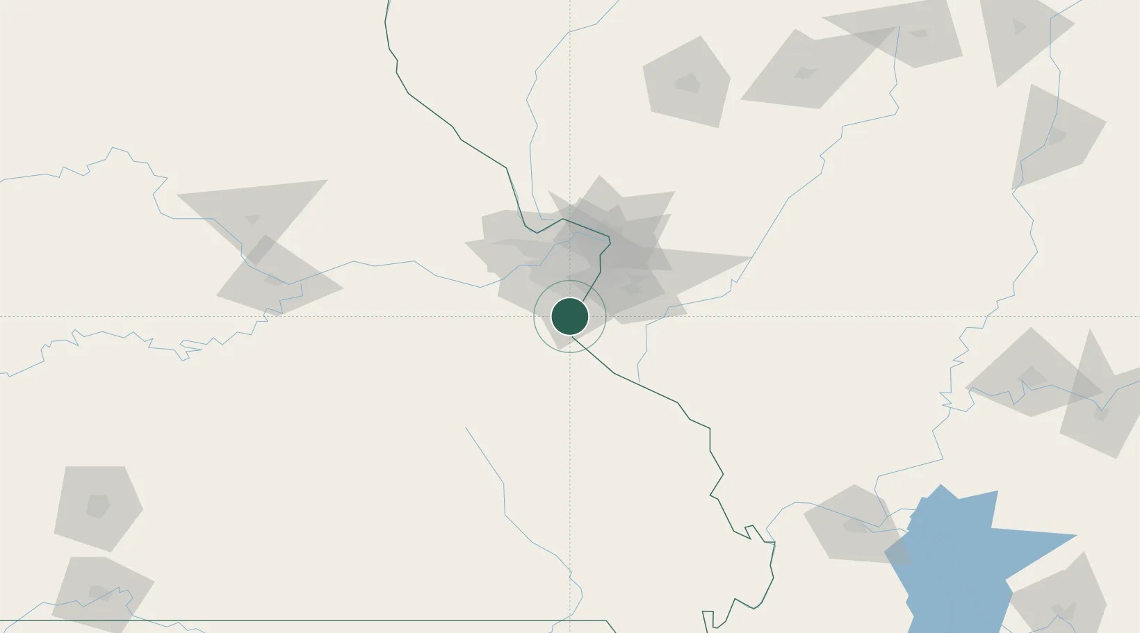
Crestwood
38.3667°, -90.3833°
11,966
Population
2
Transport functions
Transport Functions
Road
Multimodal
Hub Profile
Place type
Populated place
Region
Missouri
Population
11,966
Time zone
America/Chicago
Elevation
189 m
Location
Nearby Logistics Neighbours
Cities
- 1Imperial2 km
- 2Pevely9 km
- 3Herculaneum11 km
- 4Valmeyer11 km
- 5High Ridge16 km
Ports
- 1Port Of Memphis368 km
- 2Indiana Harbor445 km
- 3Gary445 km
- 4Calumet Harbor447 km
- 5Chicago457 km
Airports
Trade Zones
- 1FTZ No. 102 St. Louis County42 km
- 2FTZ No. 031 Granite City44 km
- 3FTZ No. 245 Decatur201 km
- 4FTZ No. 294 Western Kentucky214 km
- 5FTZ No. 177 Evansville246 km
DatabookThe Record of Consolidated Knowledge
United States beyond logistics?