UN/LOCODE hub · United States
USLHW
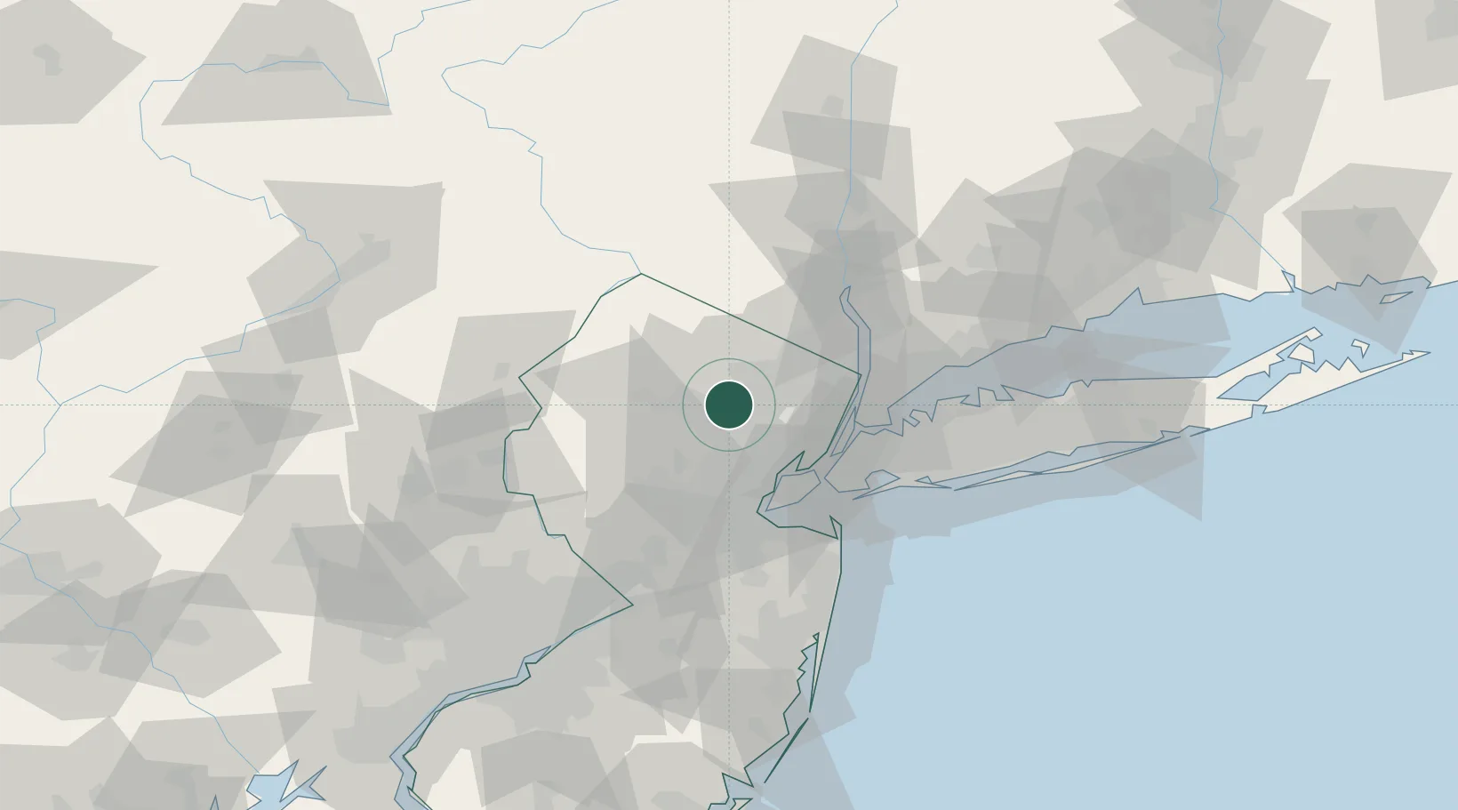
Lake Hiawatha
40.8833°, -74.3833°
9,360
Population
2
Transport functions
Transport Functions
Road
Multimodal
Hub Profile
Place type
Populated place
Region
New Jersey
Population
9,360
Time zone
America/New_York
Elevation
77 m
Location
Nearby Logistics Neighbours
Cities
- 1Mountain Lakes5 km
- 2Birch Hills9 km
- 3Monroe9 km
- 4Pequannock11 km
- 5North Caldwell12 km
Ports
- 1Newark28 km
- 2Elizabethport31 km
- 3Bayway32 km
- 4Bayonne33 km
- 5Port Richmond SI33 km
Airports
Trade Zones
DatabookThe Record of Consolidated Knowledge
United States beyond logistics?