Transport Functions
Rail
Road
Hub Profile
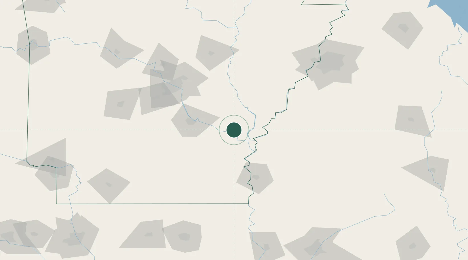
Place type
Populated place
Region
Arkansas
Population
688
Time zone
America/Chicago
Elevation
56 m
Location
Nearby Logistics Neighbours
Ports
- 1Port Of Memphis154 km
- 2Baton Rouge408 km
- 3Madisonville429 km
- 4Slidell454 km
- 5Convent459 km
Airports
Trade Zones
- 1FTZ No. 287 Tunica County89 km
- 2FTZ No. 014 Little Rock100 km
- 3FTZ No. 077 Memphis153 km
- 4FTZ No. 262 Southaven154 km
- 5FTZ No. 273 West Memphis158 km
DatabookThe Record of Consolidated Knowledge
United States beyond logistics?