Transport Functions
Rail
Road
Hub Profile
Region
NY
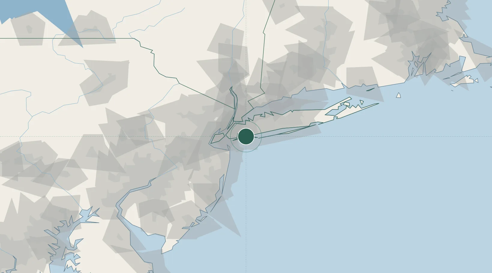
Location
Nearby Logistics Neighbours
Cities
- 1Lawrence3 km
- 2Cedarhurst3 km
- 3Woodmere5 km
- 4Laurelton7 km
- 5Springfield Gardens8 km
Ports
- 1Brooklyn24 km
- 2New York City25 km
- 3Jersey City27 km
- 4City Island28 km
- 5Hoboken28 km
Airports
Trade Zones
DatabookThe Record of Consolidated Knowledge
United States beyond logistics?