UN/LOCODE hub · United States
USZFA
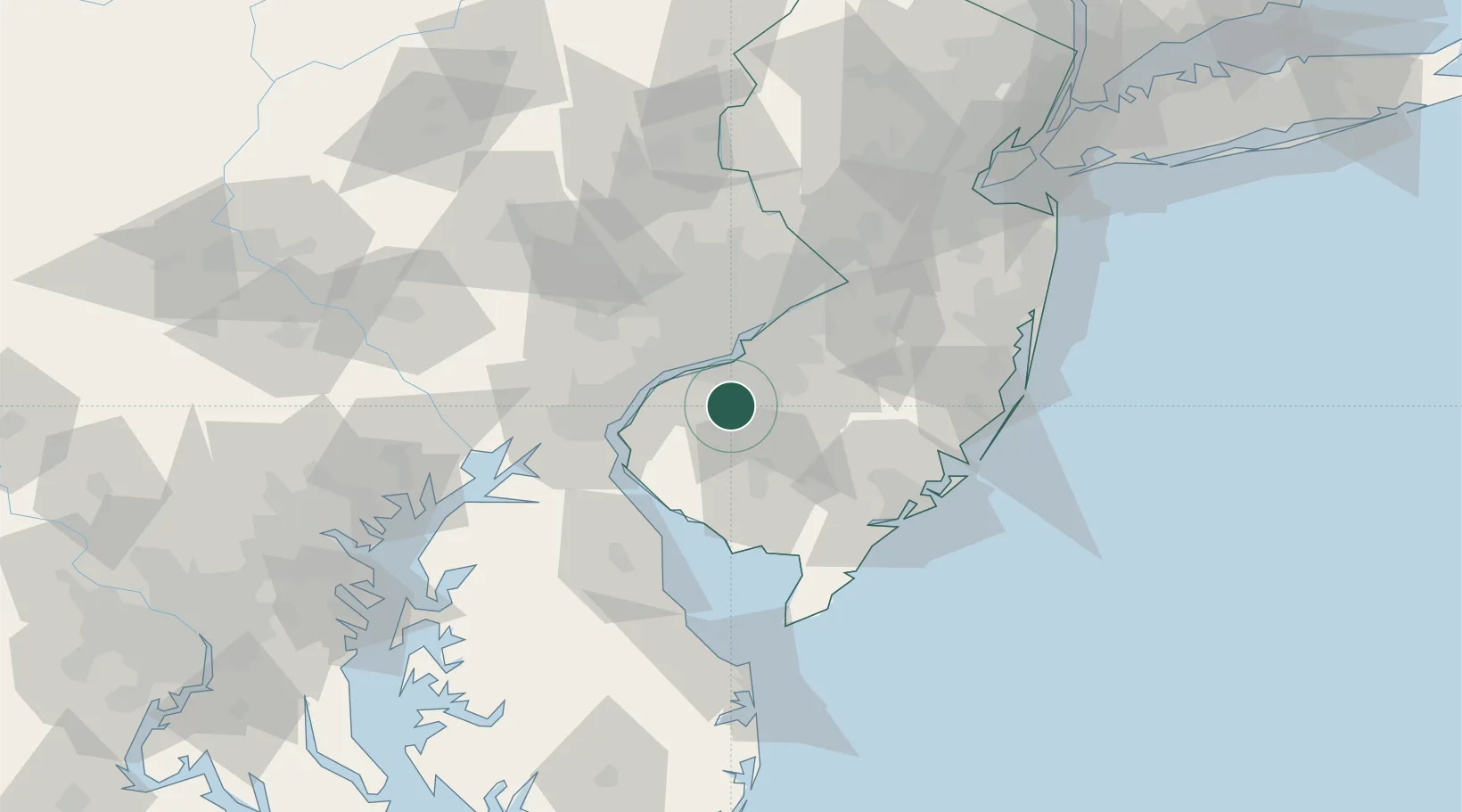
Richwood
39.7167°, -75.1500°
3,459
Population
1
Transport functions
Transport Functions
Multimodal
Hub Profile
Place type
Populated place
Region
New Jersey
Population
3,459
Time zone
America/New_York
Elevation
46 m
Location
Nearby Logistics Neighbours
Ports
- 1Paulsboro17 km
- 2Gloucester20 km
- 3Chester23 km
- 4Marcus Hook25 km
- 5Philadelphia26 km
Airports
Trade Zones
- 1FTZ No. 035 Philadelphia33 km
- 2FTZ No. 099 Wilmington34 km
- 3FTZ No. 142 Salem Millville37 km
- 4FTZ No. 200 Mercer County68 km
- 5FTZ No. 235 Lakewood87 km
DatabookThe Record of Consolidated Knowledge
United States beyond logistics?