Transport Functions
Rail
Road
Hub Profile
Place type
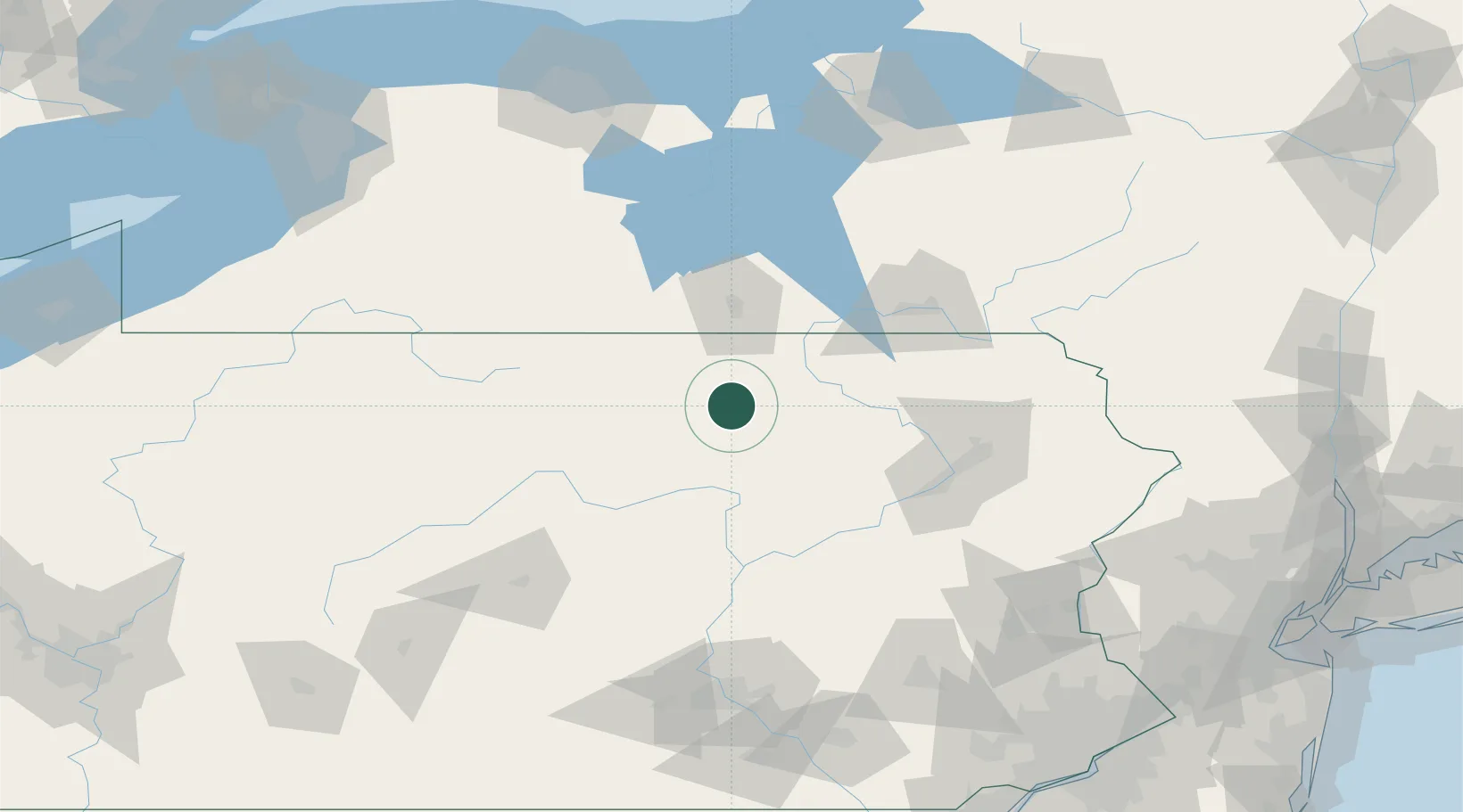
Populated place
Region
Pennsylvania
Population
1,920
Time zone
America/New_York
Elevation
374 m
Location
Nearby Logistics Neighbours
Cities
- 1Troy16 km
- 2Columbia Cross Roads21 km
- 3Hughesville42 km
- 4Farmington Hill44 km
- 5Sayre46 km
Airports
Trade Zones
DatabookThe Record of Consolidated Knowledge
United States beyond logistics?