Transport Functions
Road
Multimodal
Hub Profile
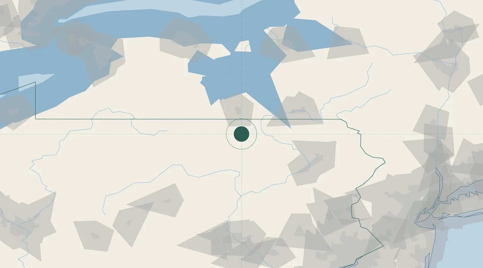
Place type
Populated place
Region
Pennsylvania
Population
1,269
Time zone
America/New_York
Elevation
335 m
Location
Nearby Logistics Neighbours
Cities
- 1Columbia Cross Roads6 km
- 2Canton16 km
- 3Sayre31 km
- 4Farmington Hill40 km
- 5Big Flats41 km
Airports
Trade Zones
DatabookThe Record of Consolidated Knowledge
United States beyond logistics?