UN/LOCODE hub · United States
USICD

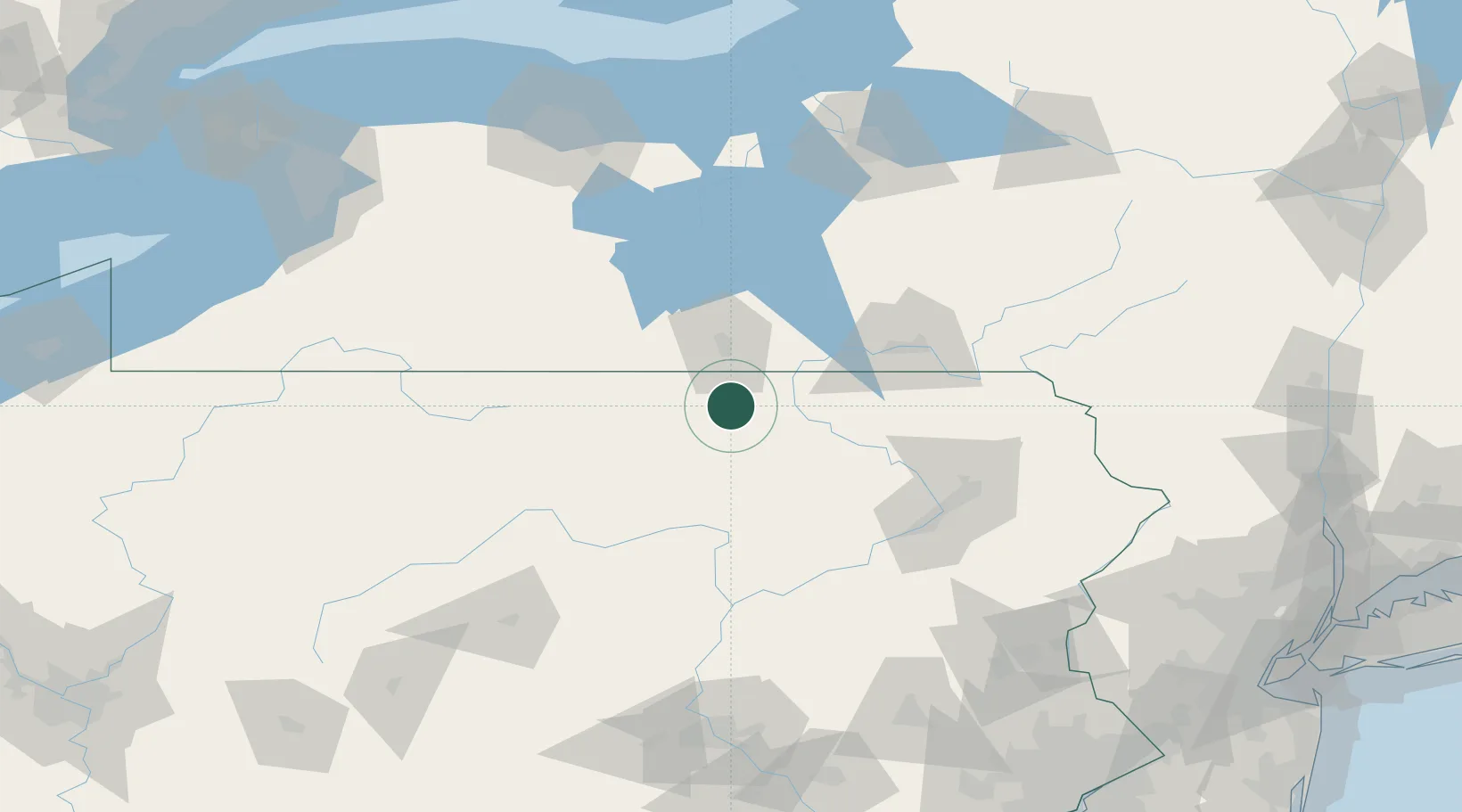
Columbia Cross Roads

41.8333°, -76.8000°
600
Population
3
Transport functions

Transport Functions

Rail
Road
Multimodal
UN/LOCODE

Hub Profile

Place type
Populated place
GeoNames
Region
Pennsylvania
GeoNames
Population
600
GeoNames
Time zone
America/New_York
GeoNames
Elevation
346 m
GeoNames

Location

Location of USICD
Natural Earth 10m (public domain) · Pennsylvania · USICD · 41.83, -76.80GoogleOSMYandex

Nearby Logistics Neighbours

Cities
  1. 1Troy6 km
  2. 2Canton21 km
  3. 3Sayre29 km
  4. 4Big Flats35 km
  5. 5Farmington Hill37 km
Nearest neighbours — logibook spatial index (haversine) over the source coordinates
Ports
  1. 1Sodus Bay160 km
  2. 2Rochester172 km
  3. 3Oswego183 km
  4. 4Buffalo207 km
  5. 5Tonawanda217 km
Nearest neighbours — logibook spatial index (haversine) over the source coordinates
Airports
  1. 1Elmira Corning Regional Airport37 km
  2. 2Williamsport Regional Airport67 km
  3. 3Ithaca Tompkins Regional Airport78 km
  4. 4Greater Binghamton/Edwin A Link field80 km
  5. 5Wilkes-Barre/Scranton International Airport105 km
Nearest neighbours — logibook spatial index (haversine) over the source coordinates
Trade Zones
  1. 1FTZ No. 024 Pittston100 km
  2. 2FTZ No. 289 Ontario County125 km
  3. 3FTZ No. 272 Counties of Lehigh and Northampton154 km
  4. 4FTZ No. 037 Orange County164 km
  5. 5FTZ No. 147 Berks County165 km
Nearest neighbours — logibook spatial index (haversine) over the source coordinates
DatabookThe Record of Consolidated Knowledge
United States beyond logistics?
Browse databook

All Sources

LocationsUN/LOCODE
UN/LOCODE — free
LocationsGeoNames
CC BY 4.0
Portsthe NGA World Port Index
Public domain (US gov)
AirportsOurAirports
Public domain
Trade Zonesthe World Bank SEZ database
CC BY 4.0
Trade ZonesOpen Zone Map
CC BY
← United States locations