UN/LOCODE hub · United States
USTTV

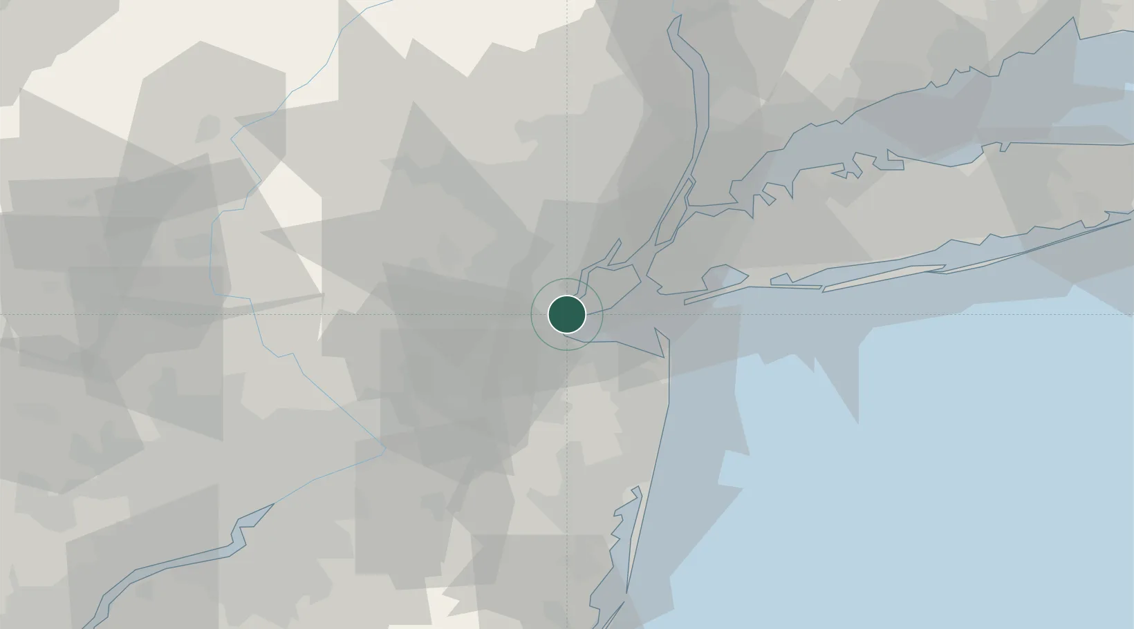
Tottenville, Staten Island

40.5167°, -74.2500°
2
Transport functions

Transport Functions

Port
Road
UN/LOCODE

Hub Profile

Region
NY
GeoNames

Location

Location of USTTV
Natural Earth 10m (public domain) · NY · USTTV · 40.52, -74.25GoogleOSMYandex

Nearby Logistics Neighbours

Cities
  1. 1Perth Amboy3 km
  2. 2Woodbridge4 km
  3. 3Carteret4 km
  4. 4Colonia7 km
  5. 5Laurence Harbor8 km
Nearest neighbours — logibook spatial index (haversine) over the source coordinates
Ports
  1. 1Perth Amboy2 km
  2. 2Sewaren4 km
  3. 3South Amboy4 km
  4. 4Port Reading6 km
  5. 5Chrome6 km
Nearest neighbours — logibook spatial index (haversine) over the source coordinates
Airports
  1. 1Newark Liberty International Airport20 km
  2. 2West 30th Street Heliport34 km
  3. 3New York Skyports Inc Seaplane Base34 km
  4. 4Morristown Municipal Airport34 km
  5. 5East 34th Street Heliport34 km
Nearest neighbours — logibook spatial index (haversine) over the source coordinates
Trade Zones
  1. 1FTZ No. 049 Newark Elizabeth20 km
  2. 2FTZ No. 001 New York City30 km
  3. 3FTZ No. 235 Lakewood49 km
  4. 4FTZ No. 200 Mercer County57 km
  5. 5FTZ No. 044 Morris County64 km
Nearest neighbours — logibook spatial index (haversine) over the source coordinates
DatabookThe Record of Consolidated Knowledge
United States beyond logistics?
Browse databook

All Sources

LocationsUN/LOCODE
UN/LOCODE — free
Portsthe NGA World Port Index
Public domain (US gov)
AirportsOurAirports
Public domain
Trade Zonesthe World Bank SEZ database
CC BY 4.0
Trade ZonesOpen Zone Map
CC BY
← United States locations