Transport Functions
Rail
Road
Multimodal
Hub Profile
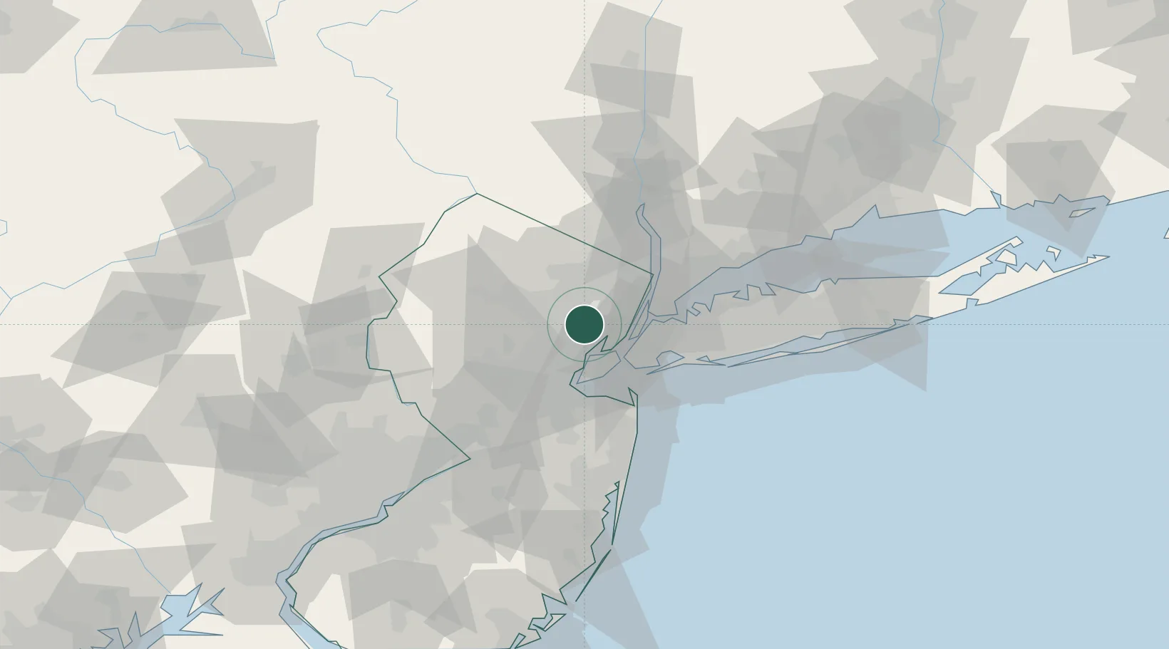
Place type
Populated place
Region
New Jersey
Population
34,457
Time zone
America/New_York
Elevation
59 m
Location
Nearby Logistics Neighbours
Cities
- 1East Orange1 km
- 2Glen Ridge4 km
- 3South Orange5 km
- 4Arlington7 km
- 5New York8 km
Ports
- 1Newark9 km
- 2Elizabethport13 km
- 3Bayonne14 km
- 4Port Richmond SI15 km
- 5Bayway15 km
Airports
Trade Zones
DatabookThe Record of Consolidated Knowledge
United States beyond logistics?