UN/LOCODE hub · Ukraine
UAPGN

Podgorodnaya

48.1167°, 30.8667°
2
Transport functions

Transport Functions

Rail
Road
UN/LOCODE

Hub Profile

Region
48
GeoNames

Location

Location of UAPGN
Natural Earth 10m (public domain) · 48 · UAPGN · 48.12, 30.87GoogleOSMYandex

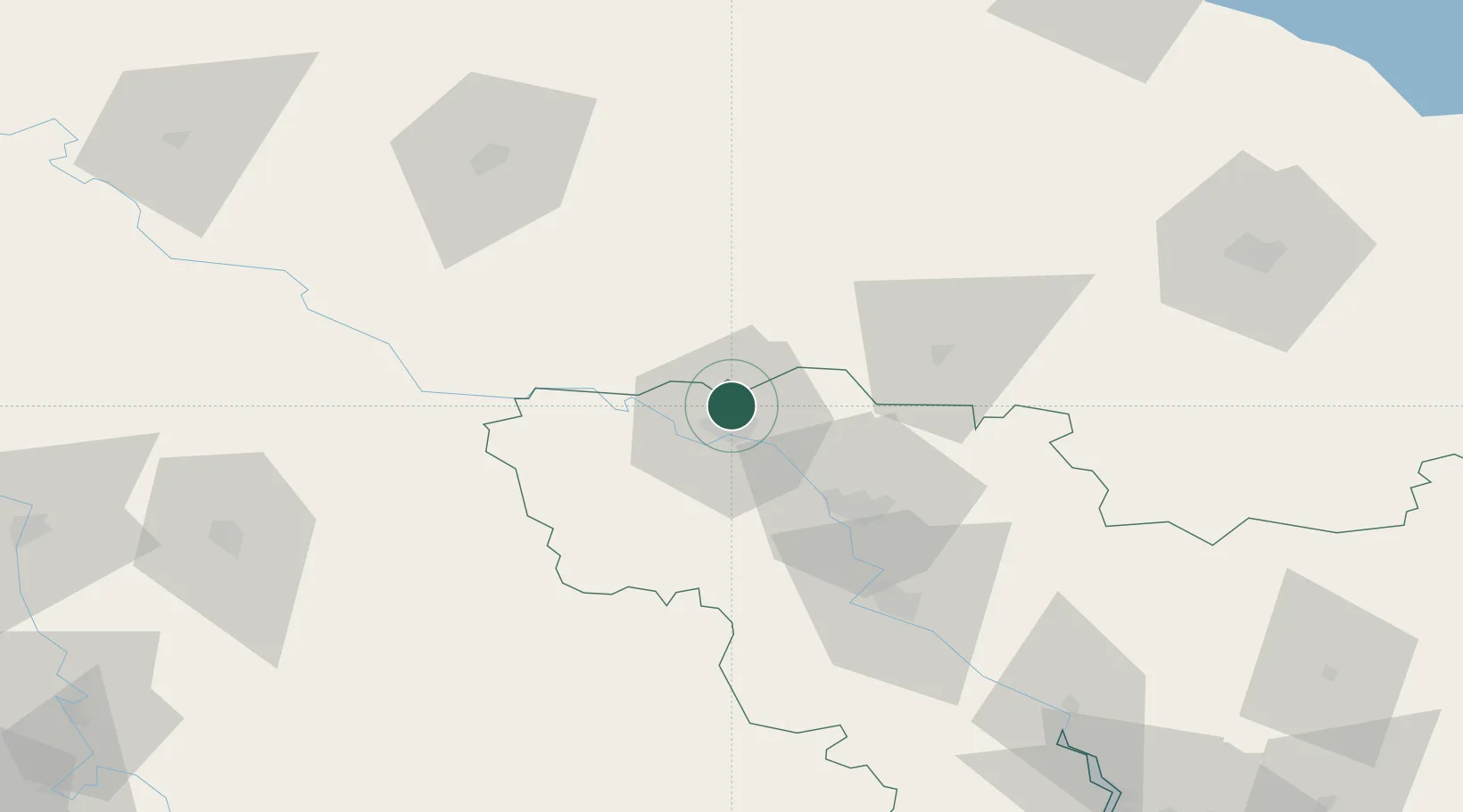
Nearby Logistics Neighbours

Cities
  1. 1Voznesensk72 km
  2. 2Uman85 km
  3. 3Tal Ne86 km
  4. 4Balta95 km
  5. 5Pervomaysk115 km
Nearest neighbours — logibook spatial index (haversine) over the source coordinates
Ports
  1. 1Mykolayiv155 km
  2. 2Port Oktyabrsk164 km
  3. 3Yuzhnyy169 km
  4. 4Odesa182 km
  5. 5Illichivsk203 km
Nearest neighbours — logibook spatial index (haversine) over the source coordinates
Airports
  1. 1Mykolaiv International Airport142 km
  2. 2Cherkasy International Airport166 km
  3. 3Tiraspol Airfield169 km
  4. 4Kryvyi Rih International Airport174 km
  5. 5Odesa International Airport188 km
Nearest neighbours — logibook spatial index (haversine) over the source coordinates
Trade Zones
  1. 1Special Economic Zone Nikolaev (Mykolaiv)153 km
  2. 2Porto Franco Special Economic Zone182 km
  3. 3Expo Business Chisinau195 km
  4. 4Free Enterprise Zone - Production Park Valkaneş198 km
  5. 5Free International Airport Mărculești199 km
Nearest neighbours — logibook spatial index (haversine) over the source coordinates
DatabookThe Record of Consolidated Knowledge
Ukraine beyond logistics?
Browse databook

All Sources

LocationsUN/LOCODE
UN/LOCODE — free
Portsthe NGA World Port Index
Public domain (US gov)
AirportsOurAirports
Public domain
Trade Zonesthe World Bank SEZ database
CC BY 4.0
Trade ZonesOpen Zone Map
CC BY
← Ukraine locations