Transport Functions
Multimodal
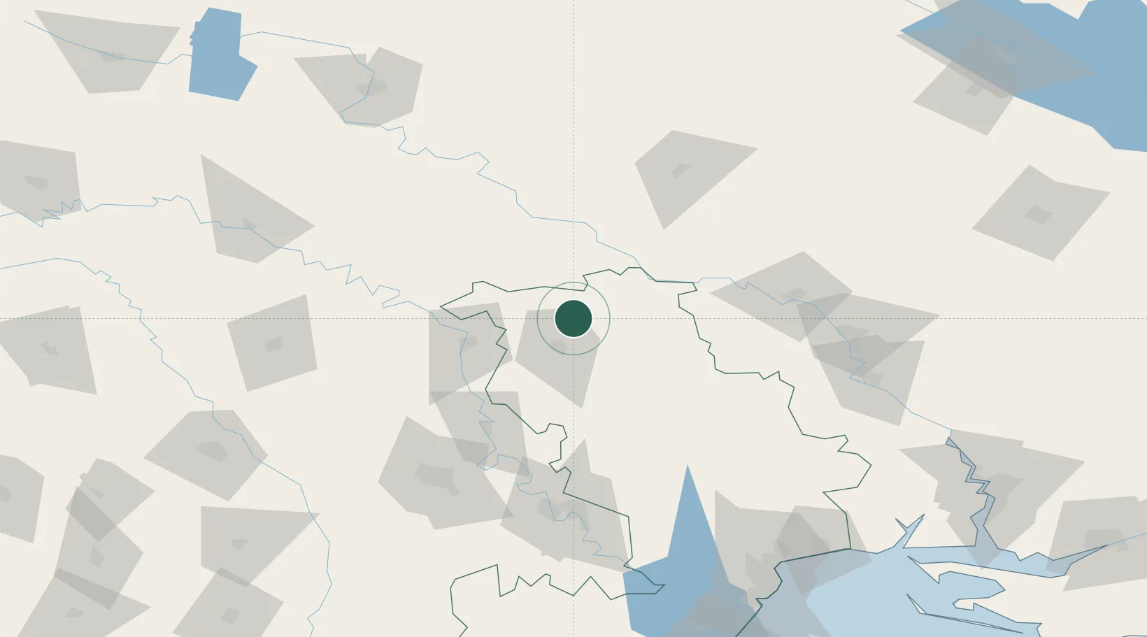
Hub Profile
Place type
Provincial seat
Region
Odesa
Population
18,511
Time zone
Europe/Kyiv
Elevation
160 m
Location
Nearby Logistics Neighbours
Cities
- 1Pervomaysk50 km
- 2Ribnita50 km
- 3Podgorodnaya95 km
- 4Uman101 km
- 5Floresti111 km
Ports
- 1Odesa182 km
- 2Yuzhnyy182 km
- 3Illichivsk198 km
- 4Belgorod-Dnestrovsky203 km
- 5Mykolayiv209 km
Airports
DatabookThe Record of Consolidated Knowledge
Ukraine beyond logistics?