Transport Functions
Rail
Road
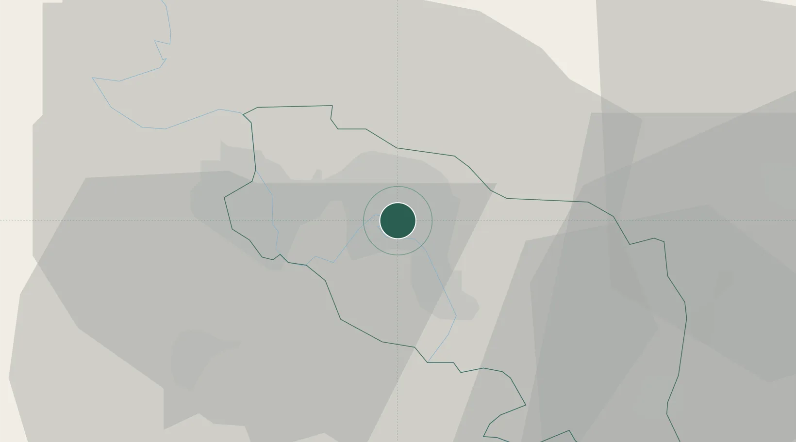
Hub Profile
Place type
Regional capital
Region
Transnistria
Population
157,000
Time zone
Europe/Chisinau
Elevation
30 m
Location
Nearby Logistics Neighbours
Ports
- 1Belgorod-Dnestrovsky92 km
- 2Odesa93 km
- 3Illichivsk98 km
- 4Yuzhnyy109 km
- 5Ust-Dunaisk152 km
Airports
- 1Tiraspol Airfield5 km
- 2Chişinău International Airport54 km
- 3Odesa International Airport91 km
- 4Zhovtneve Air Base152 km
- 5Cahul International Airport152 km
DatabookThe Record of Consolidated Knowledge
Moldova beyond logistics?