About
Methodology
Sources
Licensing
English
EN
English
TR
Türkçe
DE
Deutsch
FR
Français
ES
Español
IT
Italiano
PT
Português
NL
Nederlands
PL
Polski
RU
Русский
UK
Українська
CS
Čeština
RO
Română
EL
Ελληνικά
BG
Български
AR
العربية
FA
فارسی
UR
اردو
HI
हिन्दी
BN
বাংলা
ID
Bahasa Indonesia
VI
Tiếng Việt
ZH
中文
JA
日本語
KO
한국어
logibook
/
Countries
/
Ukraine
/
Airports
/
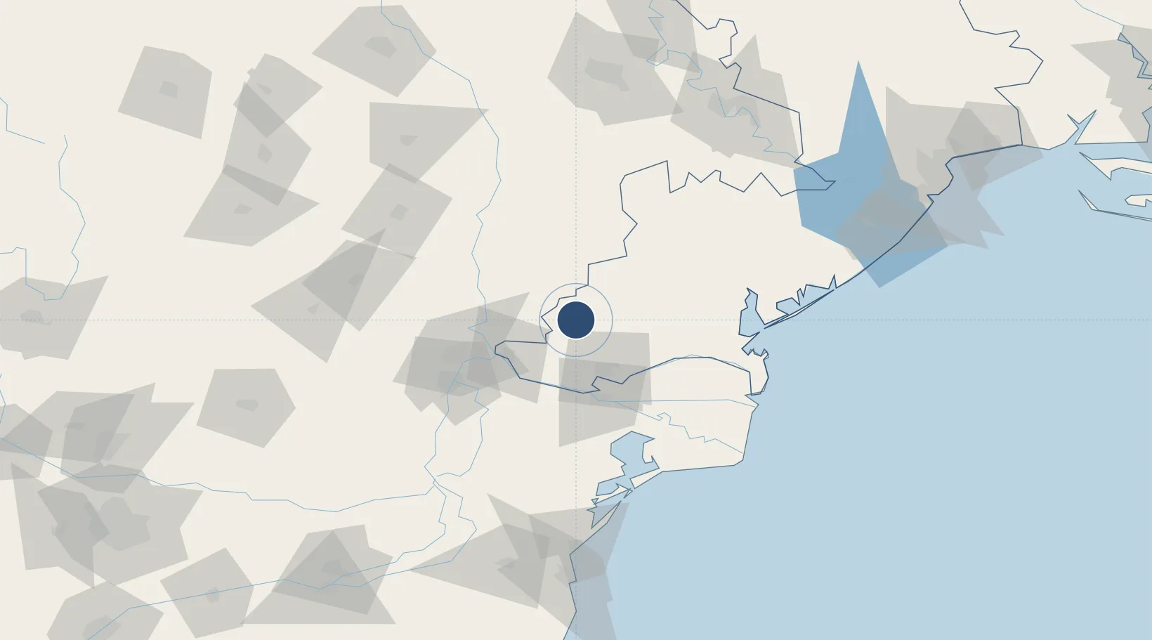
Zhovtneve Air Base
Medium airport ·
Ukraine
Zhovtneve Air Base
UA-0028
45.6400°, 28.6700°
Runway & Layout
Runway & taxiway layout — OpenStreetMap (ODbL) / OurAirports
Airport Specifications
ICAO code
UKOD
OurAirports
Airport class
Medium airport
OurAirports
Scheduled service
No
OurAirports
Served city
Bolgrad
OurAirports
Location
Natural Earth 10m (public domain) · Odessa · UA-0028 · 45.64, 28.67
Google ↗
OSM ↗
Yandex ↗
Nearby Logistics Neighbours
Airports
1
Cahul International Airport
39 km
2
Tulcea Danube Delta Airport
64 km
3
Boboc Air Base
140 km
4
Mihail Kogălniceanu International Airport
143 km
5
Chişinău International Airport
145 km
Nearest neighbours — logibook spatial index (haversine) over the source coordinates
Cities
1
Izmail
38 km
2
Reni
39 km
3
Giurgiulesti
43 km
4
Isaccea
44 km
5
Burlacu
49 km
Nearest neighbours — logibook spatial index (haversine) over the source coordinates
Ports
1
Reni
37 km
2
Izmayil
37 km
3
Galati
52 km
4
Tulcea
54 km
5
Braila
69 km
Nearest neighbours — logibook spatial index (haversine) over the source coordinates
Trade Zones
1
Free Enterprise Zone - Production Park Taraclia
29 km
2
Reni Special Economic Zone
37 km
3
Giurgiulesti International Free Port
41 km
4
Free Enterprise Zone Tvardita
62 km
5
Free zone Brăila
68 km
Nearest neighbours — logibook spatial index (haversine) over the source coordinates
Data
book
The Record of Consolidated Knowledge
Ukraine beyond logistics?
Browse databook
→
All Sources
Airports
OurAirports
Public domain
↗
Ports
the NGA World Port Index
Public domain (US gov)
↗
Locations
UN/LOCODE
UN/LOCODE — free
↗
Trade Zones
the World Bank SEZ database
CC BY 4.0
↗
Trade Zones
Open Zone Map
CC BY
↗
Infrastructure
OpenStreetMap
ODbL 1.0
↗
← Ukraine airports