Transport Functions
Multimodal
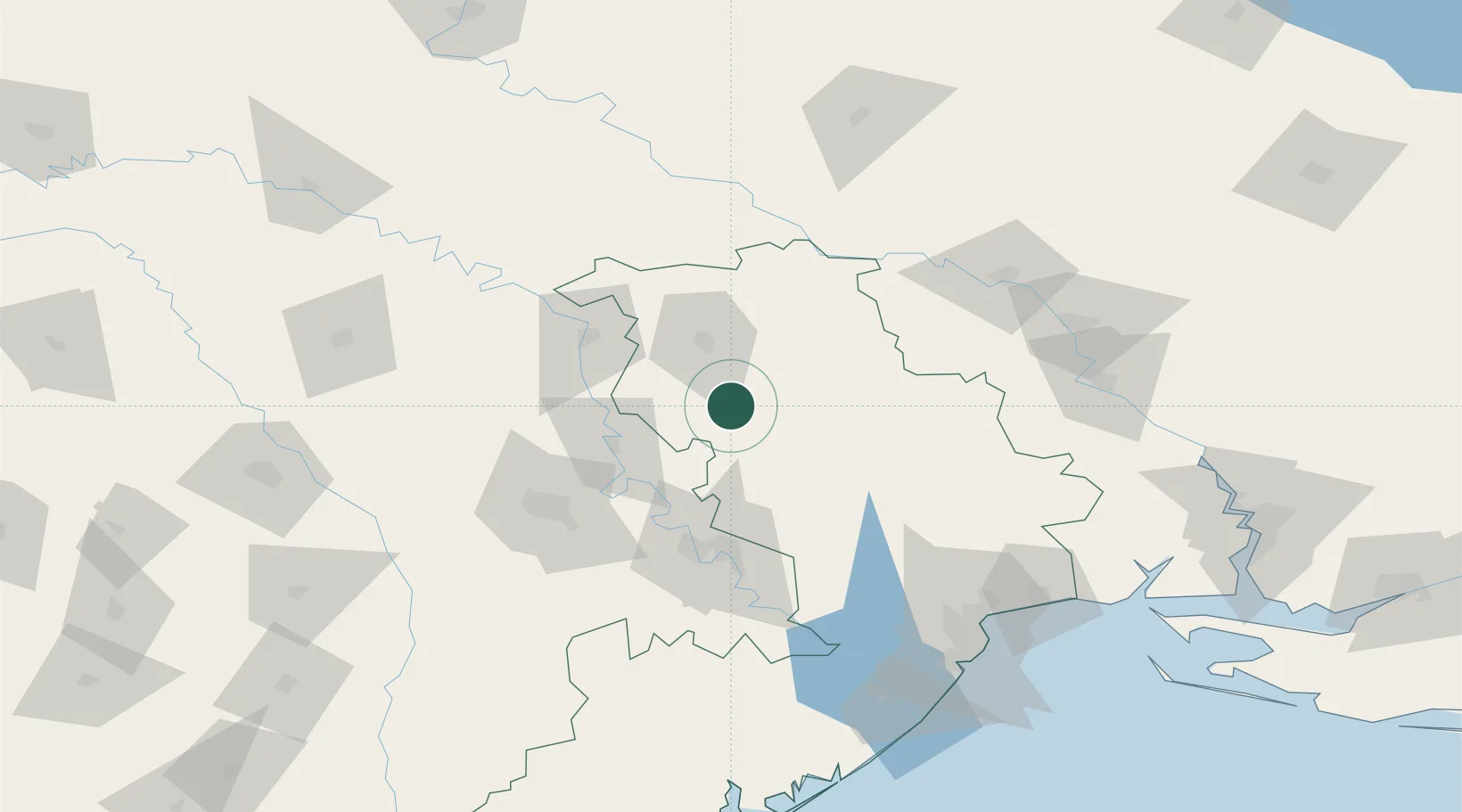
Hub Profile
Place type
Provincial seat
Region
Mykolaiv
Population
62,426
Time zone
Europe/Kyiv
Elevation
76 m
Location
Nearby Logistics Neighbours
Ports
- 1Odesa138 km
- 2Yuzhnyy143 km
- 3Illichivsk152 km
- 4Belgorod-Dnestrovsky155 km
- 5Mykolayiv186 km
Airports
- 1Tiraspol Airfield69 km
- 2Chişinău International Airport82 km
- 3Mărculești Air Base116 km
- 4Odesa International Airport141 km
- 5Bălți-Leadoveni International Airport145 km
DatabookThe Record of Consolidated Knowledge
Ukraine beyond logistics?