Transport Functions
Rail
Road
Hub Profile
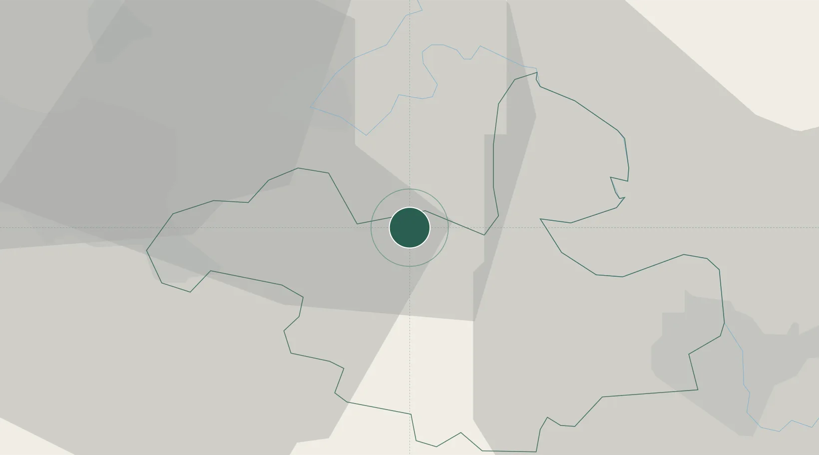
Place type
Populated place
Region
Anenii Noi
Time zone
Europe/Chisinau
Elevation
117 m
Location
Nearby Logistics Neighbours
Ports
- 1Belgorod-Dnestrovsky128 km
- 2Odesa132 km
- 3Illichivsk136 km
- 4Yuzhnyy147 km
- 5Ust-Dunaisk174 km
Airports
- 1Chişinău International Airport19 km
- 2Tiraspol Airfield35 km
- 3Iaşi International Airport119 km
- 4Mărculești Air Base121 km
- 5Odesa International Airport130 km
DatabookThe Record of Consolidated Knowledge
Moldova beyond logistics?