Medium airport · Ukraine

Kharkiv International AirportUKHH
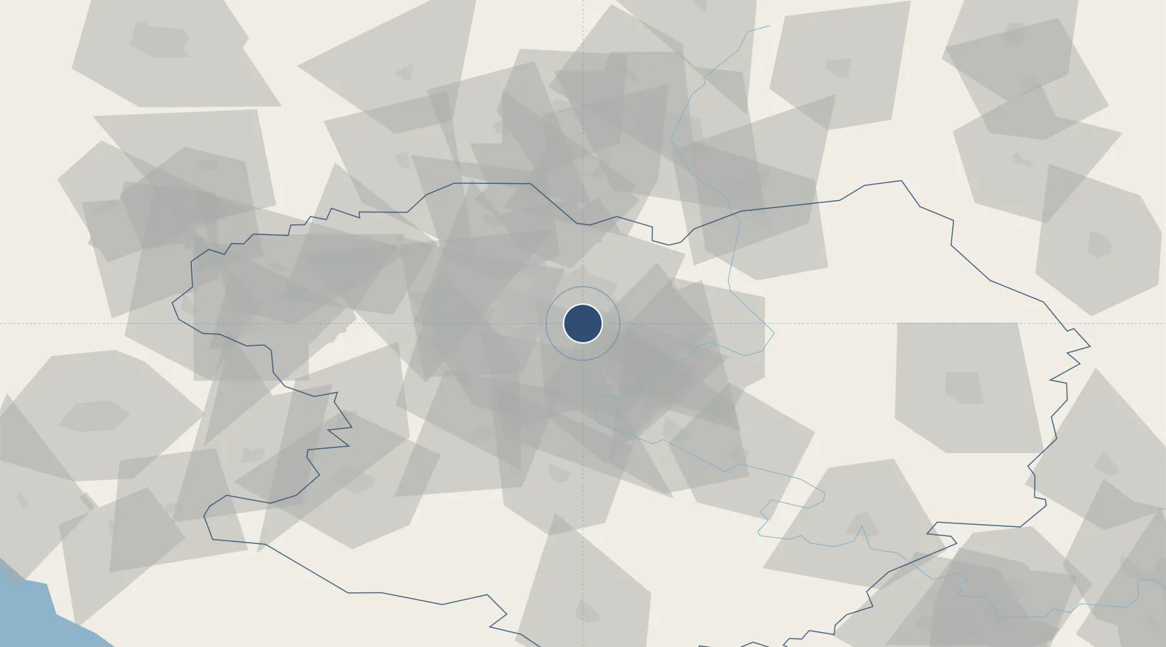
49.9269°, 36.2908°
7,285 ft
Longest runway
1
Runways
508 ft
Elevation

Runway & Layout

Kharkiv International Airport runway & taxiway layout
Runway & taxiway layout — OpenStreetMap (ODbL) / OurAirports

Radio Frequencies

TWR
118.1 MHz
KHARKIV TWR
GND
119 MHz
KHARKIV GND
APP
118.1 MHz
KHARKIV RADAR
PMSV
127.6 MHz
KHARKIV METEO
OurAirports

Navaids

A NDB Kharkiv 678 kHz
HA NDB Kharkiv 330 kHz
HR NDB Kharkiv 330 kHz
KHR VOR-DME Kharkiv 116.50 MHz
R NDB Kharkiv 678 kHz
OurAirports

Runways · 1

RunwayDimensions SurfaceTrue headingLit
08/26 7,285 × 165ft Asphalt / concrete 090°
OurAirports

Airport Specifications

IATA code
HRK
OurAirports
ICAO code
UKHH
OurAirports
Airport class
Medium airport
OurAirports
Scheduled service
No
OurAirports
Runway surface
Asphalt / concrete
OurAirports
Served city
Kharkiv
OurAirports

Location

Location of UKHH
Natural Earth 10m (public domain) · Kharkiv · UKHH · 49.93, 36.29GoogleOSMYandex

Nearby Logistics Neighbours

Airports
  1. 1Belgorod International Airport83 km
  2. 2Dnipro International Airport195 km
  3. 3Kursk East Airport203 km
  4. 4Zaporizhzhia International Airport240 km
  5. 5Voronezh Baltimore Air Base275 km
Nearest neighbours — logibook spatial index (haversine) over the source coordinates
Cities
  1. 1Pivdenne17 km
  2. 2Chuhuyiv30 km
  3. 3Andreevka50 km
  4. 4Dergachi58 km
  5. 5Bogodukhov62 km
Nearest neighbours — logibook spatial index (haversine) over the source coordinates
Ports
  1. 1Mariupol330 km
  2. 2Berdyansk355 km
  3. 3Taganrog361 km
  4. 4Yeysk384 km
  5. 5Azov390 km
Nearest neighbours — logibook spatial index (haversine) over the source coordinates
Trade Zones
  1. 1North Caucasus Resort Cluster189 km
  2. 2Special Economic Zone Donetsk236 km
  3. 3Azov Economic Zone330 km
  4. 4Yeletsprom Special Economic Zone338 km
  5. 5Lipetsk SEZ (Lipetsk Special Economic Zone - Industrial) Lipetsk Regional Administration377 km
Nearest neighbours — logibook spatial index (haversine) over the source coordinates
DatabookThe Record of Consolidated Knowledge
Ukraine beyond logistics?
Browse databook

All Sources

AirportsOurAirports
Public domain
Portsthe NGA World Port Index
Public domain (US gov)
LocationsUN/LOCODE
UN/LOCODE — free
Trade Zonesthe World Bank SEZ database
CC BY 4.0
Trade ZonesOpen Zone Map
CC BY
InfrastructureOpenStreetMap
ODbL 1.0
← Ukraine airports