UN/LOCODE hub · Moldova
MDTBY

Bendery

46.8167°, 29.4667°
1
Transport functions

Transport Functions

Multimodal
UN/LOCODE

Hub Profile

Region
BD
GeoNames

Location

Location of MDTBY
Natural Earth 10m (public domain) · BD · MDTBY · 46.82, 29.47GoogleOSMYandex

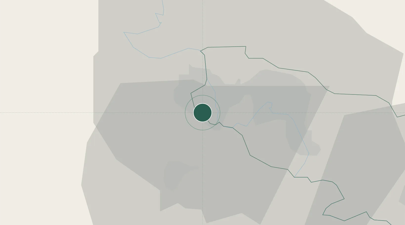
Nearby Logistics Neighbours

Cities
  1. 1Tiraspol13 km
  2. 2Floresti29 km
  3. 3Rozdil'na47 km
  4. 4Ialoveni55 km
  5. 5Kamenka63 km
Nearest neighbours — logibook spatial index (haversine) over the source coordinates
Ports
  1. 1Belgorod-Dnestrovsky99 km
  2. 2Odesa104 km
  3. 3Illichivsk107 km
  4. 4Yuzhnyy121 km
  5. 5Ust-Dunaisk151 km
Nearest neighbours — logibook spatial index (haversine) over the source coordinates
Airports
  1. 1Tiraspol Airfield11 km
  2. 2Chişinău International Airport43 km
  3. 3Odesa International Airport102 km
  4. 4Cahul International Airport142 km
  5. 5Zhovtneve Air Base145 km
Nearest neighbours — logibook spatial index (haversine) over the source coordinates
Trade Zones
  1. 1Expo Business Chisinau41 km
  2. 2Free Enterprise Zone - Production Park Valkaneş53 km
  3. 3Free Enterprise Zone Tvardita83 km
  4. 4Porto Franco Special Economic Zone105 km
  5. 5Free Enterprise Zone - Production Park Taraclia120 km
Nearest neighbours — logibook spatial index (haversine) over the source coordinates
DatabookThe Record of Consolidated Knowledge
Moldova beyond logistics?
Browse databook

All Sources

LocationsUN/LOCODE
UN/LOCODE — free
Portsthe NGA World Port Index
Public domain (US gov)
AirportsOurAirports
Public domain
Trade Zonesthe World Bank SEZ database
CC BY 4.0
Trade ZonesOpen Zone Map
CC BY
← Moldova locations