Transport Functions
Rail
Road
Hub Profile
Logistics facilities
1
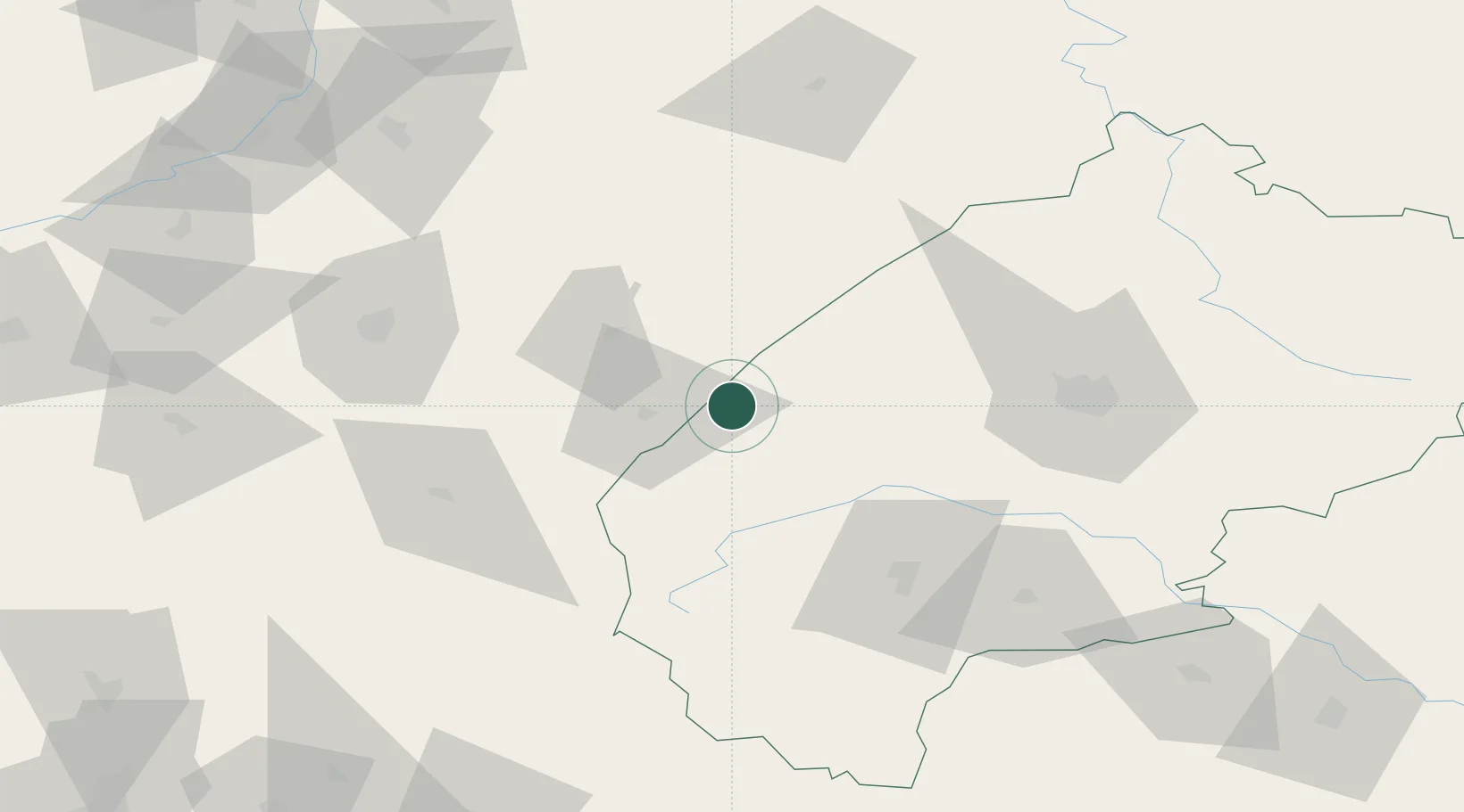
Location
Nearby Logistics Neighbours
Ports
- 1Kaliningrad571 km
- 2Baltiysk577 km
- 3Gdansk586 km
- 4Nowy Port592 km
- 5Gdynia607 km
Airports
- 1Lviv International Airport67 km
- 2Rzeszów-Jasionka Airport79 km
- 3Uzhhorod International Airport142 km
- 4Ivano-Frankivsk International Airport158 km
- 5Lublin Airport161 km
DatabookThe Record of Consolidated Knowledge
Ukraine beyond logistics?