UN/LOCODE hub · Poland
PLLBW
Lubycza Królewska
50.3333°, 23.5333°
1,800
Population
2
Transport functions
Transport Functions
Rail
Road
Hub Profile
Place type
District seat
Region
Lublin
Population
1,800
Time zone
Europe/Warsaw
Elevation
252 m
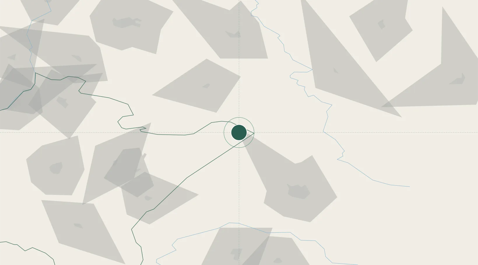
Location
Nearby Logistics Neighbours
Cities
- 1Hrebenne8 km
- 2Rava Ruskaya11 km
- 3Zwierzyniec50 km
- 4Hrubieszów59 km
- 5Nieledew59 km
Ports
- 1Kaliningrad528 km
- 2Baltiysk538 km
- 3Gdansk555 km
- 4Nowy Port561 km
- 5Gdynia576 km
Airports
- 1Lviv International Airport65 km
- 2Rzeszów-Jasionka Airport110 km
- 3Lublin Airport116 km
- 4Deblin Military Air Base178 km
- 5Ivano-Frankivsk International Airport181 km
DatabookThe Record of Consolidated Knowledge
Poland beyond logistics?