Transport Functions
Multimodal
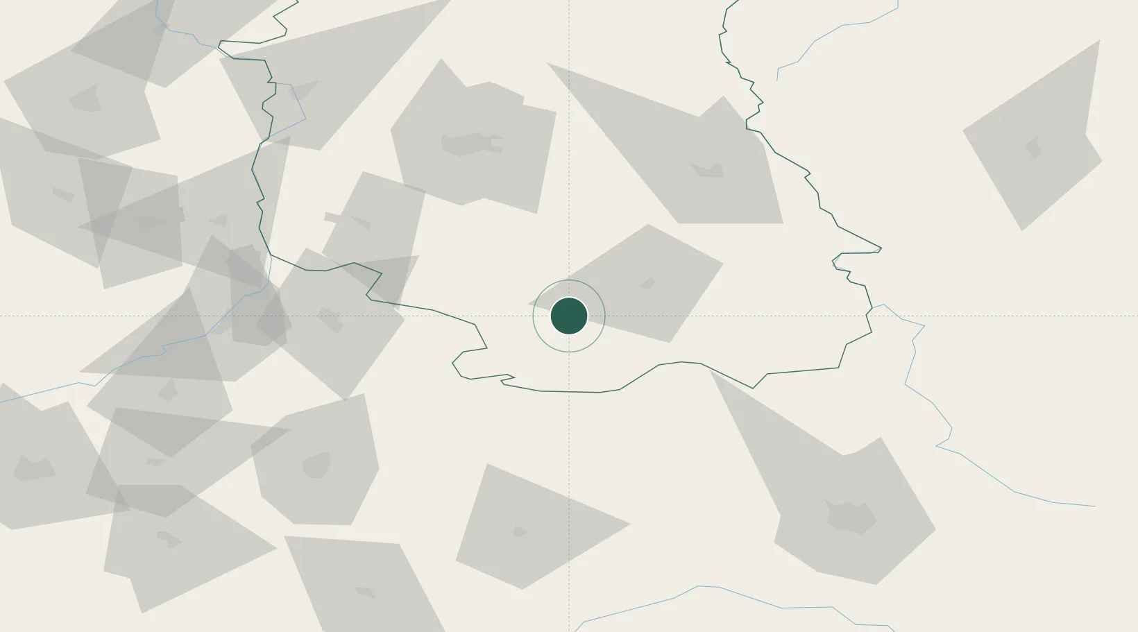
Hub Profile
Place type
District seat
Region
Lublin
Population
3,297
Time zone
Europe/Warsaw
Elevation
225 m
Location
Nearby Logistics Neighbours
Cities
- 1Bilgoraj18 km
- 2Modliborzyce48 km
- 3Lubycza Królewska50 km
- 4Nowa Sarzyna54 km
- 5Hrebenne56 km
Ports
- 1Kaliningrad486 km
- 2Baltiysk494 km
- 3Gdansk508 km
- 4Nowy Port514 km
- 5Gdynia529 km
Airports
- 1Lublin Airport73 km
- 2Rzeszów-Jasionka Airport86 km
- 3Lviv International Airport112 km
- 4Deblin Military Air Base130 km
- 5Warsaw Radom Airport151 km
Trade Zones
DatabookThe Record of Consolidated Knowledge
Poland beyond logistics?