Transport Functions
Multimodal
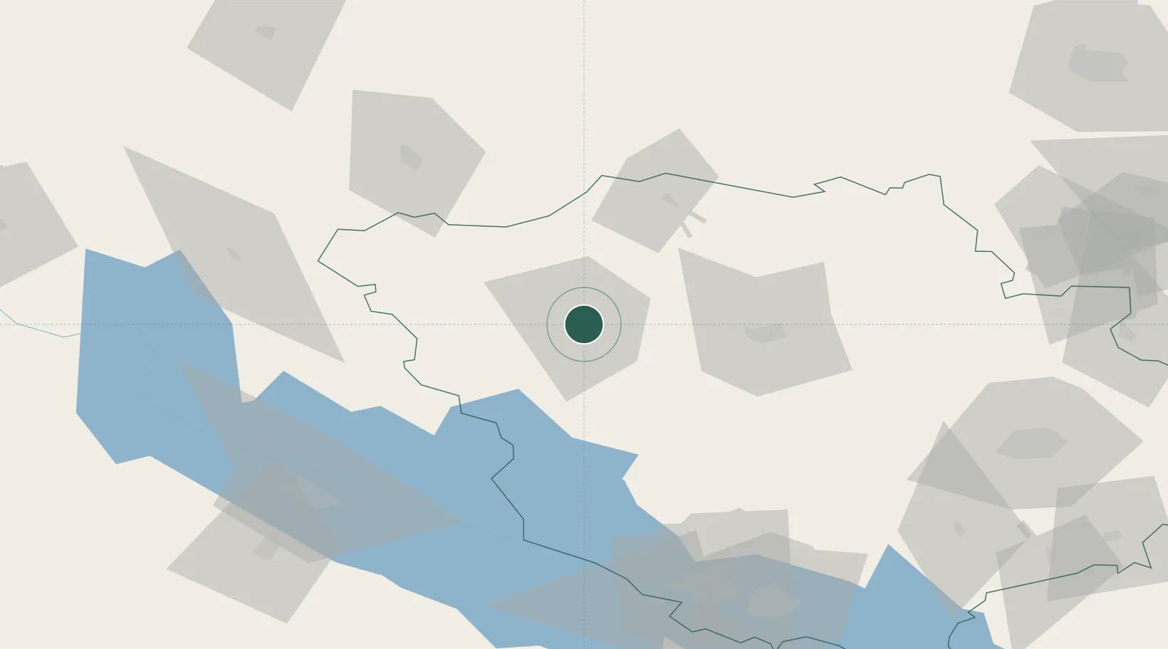
Hub Profile
Place type
Provincial seat
Region
Poltava
Population
44,595
Time zone
Europe/Kyiv
Elevation
158 m
Location
Nearby Logistics Neighbours
Cities
- 1Hlobyne73 km
- 2Pryluky78 km
- 3Zolotonosha80 km
- 4Ichnya104 km
- 5Svitlovodsk109 km
Ports
- 1Mykolayiv349 km
- 2Port Oktyabrsk363 km
- 3Kherson379 km
- 4Yuzhnyy407 km
- 5Odesa427 km
Airports
Trade Zones
DatabookThe Record of Consolidated Knowledge
Ukraine beyond logistics?