Transport Functions
Rail
Road
Hub Profile
Region
63
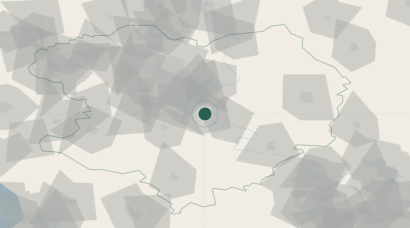
Location
Nearby Logistics Neighbours
Cities
- 1Chuhuyiv34 km
- 2Pivdenne54 km
- 3Krasnograd86 km
- 4Dergachi95 km
- 5Cherkasskaya96 km
Airports
Trade Zones
DatabookThe Record of Consolidated Knowledge
Ukraine beyond logistics?