Large airport · Türkiye

Şanlıurfa GAP AirportLTCS
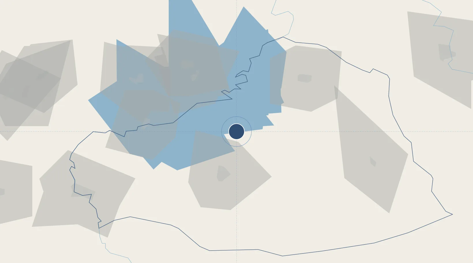
37.4457°, 38.8956°
13,123 ft
Longest runway
1
Runways
2,708 ft
Elevation

Runway & Layout

Şanlıurfa GAP Airport runway & taxiway layout
Runway & taxiway layout — OpenStreetMap (ODbL) / OurAirports

Runways · 1

RunwayDimensions SurfaceTrue headingLit
04/22 13,123 × 148ft Asphalt 036°
OurAirports

Airport Specifications

IATA code
GNY
OurAirports
ICAO code
LTCS
OurAirports
Airport class
Large airport
OurAirports
Scheduled service
Yes
OurAirports
Runway surface
Asphalt
OurAirports
Served city
Şanlıurfa
OurAirports

Location

Location of LTCS
Natural Earth 10m (public domain) · Sanliurfa · LTCS · 37.45, 38.90GoogleOSMYandex

Nearby Logistics Neighbours

Airports
  1. 1Adıyaman Airport49 km
  2. 2Malatya Tulga Airport116 km
  3. 3Diyarbakır Airport125 km
  4. 4Malatya Erhaç Airport131 km
  5. 5Elazığ Airport133 km
Nearest neighbours — logibook spatial index (haversine) over the source coordinates
Cities
  1. 1Kabatas63 km
  2. 2Yesilyurt110 km
  3. 3Nizip110 km
  4. 4Atakoy152 km
  5. 5Elbistan172 km
Nearest neighbours — logibook spatial index (haversine) over the source coordinates
Ports
  1. 1Yakacik254 km
  2. 2Iskenderun260 km
  3. 3Toros Gubre266 km
  4. 4Botas270 km
  5. 5Al Ladhiqiyah351 km
Nearest neighbours — logibook spatial index (haversine) over the source coordinates
Trade Zones
  1. 1Gaziantep Free Zone142 km
  2. 2Mardin Free Zone158 km
  3. 3Aleppo Free Zone198 km
  4. 4Osmaniye Organized Industrial Zone252 km
  5. 5Iskenderun Organized Industrial Zone253 km
Nearest neighbours — logibook spatial index (haversine) over the source coordinates
DatabookThe Record of Consolidated Knowledge
Türkiye beyond logistics?
Browse databook

All Sources

AirportsOurAirports
Public domain
Portsthe NGA World Port Index
Public domain (US gov)
LocationsUN/LOCODE
UN/LOCODE — free
Trade Zonesthe World Bank SEZ database
CC BY 4.0
Trade ZonesOpen Zone Map
CC BY
InfrastructureOpenStreetMap
ODbL 1.0
← Türkiye airports