Transport Functions
Multimodal
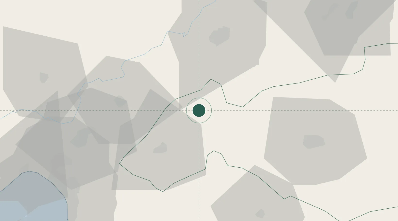
Hub Profile
Place type
Populated place
Region
Gaziantep
Time zone
Europe/Istanbul
Elevation
515 m
Location
Nearby Logistics Neighbours
Ports
- 1Yakacik80 km
- 2Toros Gubre84 km
- 3Botas88 km
- 4Iskenderun91 km
- 5Mersin201 km
Airports
- 1Kahramanmaraş Airport37 km
- 2Gaziantep Oğuzeli International Airport65 km
- 3Hatay Airport107 km
- 4Aleppo International Airport120 km
- 5İncirlik Air Base127 km
Trade Zones
DatabookThe Record of Consolidated Knowledge
Türkiye beyond logistics?