UN/LOCODE hub · Türkiye
TRCEM

Cemberlitas

39.3000°, 39.3500°
1
Transport functions

Transport Functions

Multimodal
UN/LOCODE

Hub Profile

Place type
Populated place
GeoNames
Region
Tunceli
GeoNames
Time zone
Europe/Istanbul
GeoNames
Elevation
1,319 m
GeoNames

Location

Location of TRCEM
Natural Earth 10m (public domain) · Tunceli · TRCEM · 39.30, 39.35GoogleOSMYandex

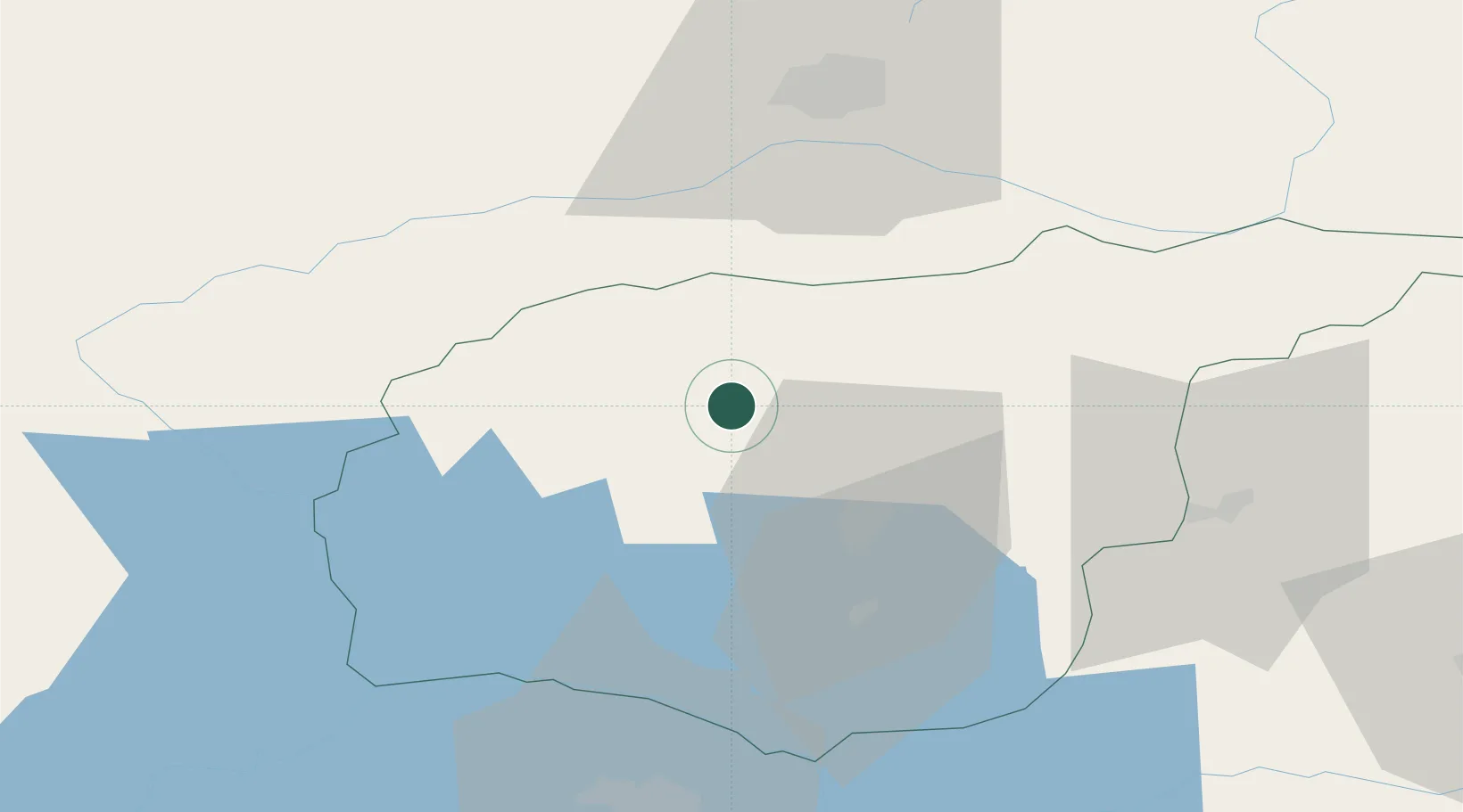
Nearby Logistics Neighbours

Cities
  1. 1Yesilyurt149 km
  2. 2Polan151 km
  3. 3Armutlu179 km
  4. 4Atakoy184 km
  5. 5Surmene190 km
Nearest neighbours — logibook spatial index (haversine) over the source coordinates
Ports
  1. 1Trabzon194 km
  2. 2Giresun199 km
  3. 3Rize220 km
  4. 4Ordu226 km
  5. 5Hopa293 km
Nearest neighbours — logibook spatial index (haversine) over the source coordinates
Airports
  1. 1Erzincan Airport48 km
  2. 2Elazığ Airport78 km
  3. 3Bingöl Airport118 km
  4. 4Malatya Tulga Airport142 km
  5. 5Malatya Erhaç Airport145 km
Nearest neighbours — logibook spatial index (haversine) over the source coordinates
Trade Zones
  1. 1Trabzon Free Zone193 km
  2. 2Sivas Merkez I.Organized Industrial Zone201 km
  3. 3Mardin Free Zone253 km
  4. 4Tokat Merkez Organized Industrial Zone269 km
  5. 5Gaziantep Free Zone301 km
Nearest neighbours — logibook spatial index (haversine) over the source coordinates
DatabookThe Record of Consolidated Knowledge
Türkiye beyond logistics?
Browse databook

All Sources

LocationsUN/LOCODE
UN/LOCODE — free
Portsthe NGA World Port Index
Public domain (US gov)
AirportsOurAirports
Public domain
Trade Zonesthe World Bank SEZ database
CC BY 4.0
Trade ZonesOpen Zone Map
CC BY
← Türkiye locations