Transport Functions
Port
Road
Hub Profile
Place type
Provincial seat
Region
Kocaeli
Time zone
Europe/Istanbul
Elevation
16 m
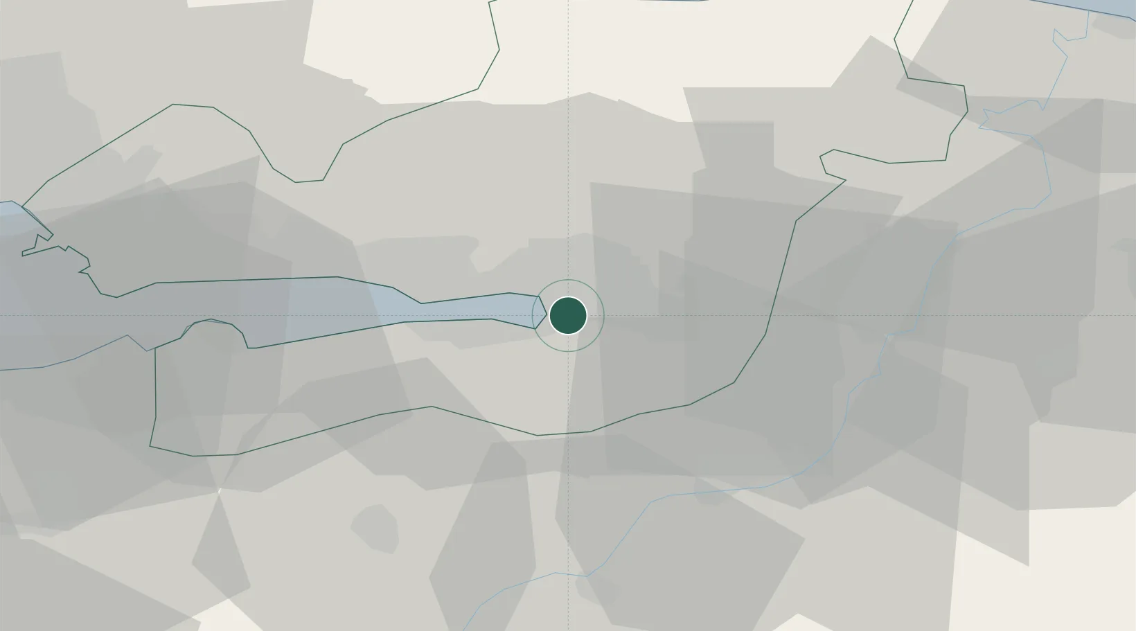
Location
Nearby Logistics Neighbours
Cities
- 1Yenikoy7 km
- 2Limas7 km
- 3Yeniköy-Autoport9 km
- 4Derince14 km
- 5Uzuntarla15 km
Ports
- 1Izmit6 km
- 2Golcuk Burnu13 km
- 3Derince Burnu13 km
- 4Yarimca24 km
- 5Gebze35 km
Airports
DatabookThe Record of Consolidated Knowledge
Türkiye beyond logistics?