Transport Functions
Port
Hub Profile
Place type
District seat
Region
Mersin
Population
15,184
Time zone
Europe/Istanbul
Elevation
3 m
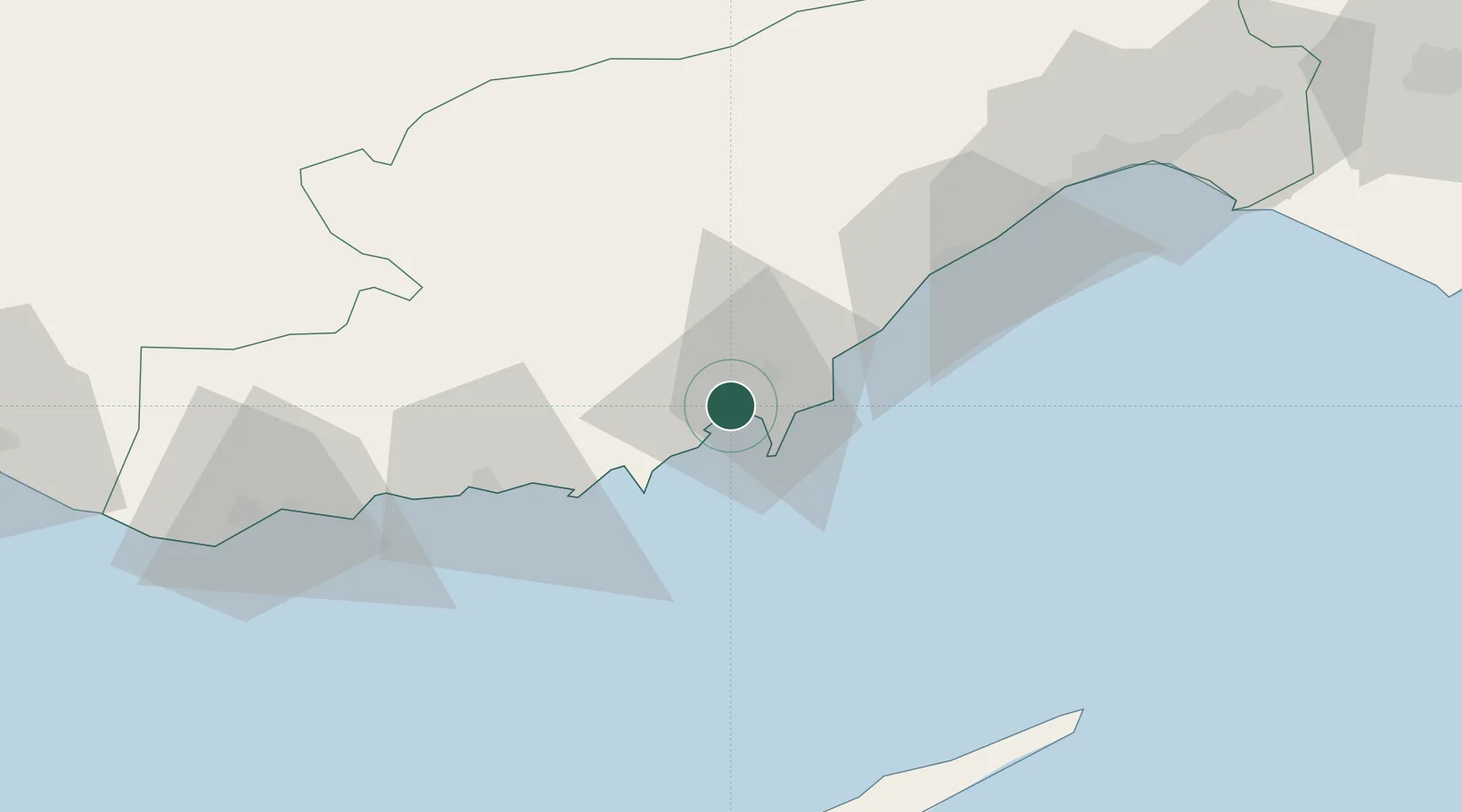
Location
Nearby Logistics Neighbours
Cities
- 1Yesilovacik22 km
- 2Mersin-Free Zone87 km
- 3Anamur95 km
- 4Akdeniz96 km
- 5Kazanli98 km
Airports
Trade Zones
DatabookThe Record of Consolidated Knowledge
Türkiye beyond logistics?