Transport Functions
Port
Hub Profile
Place type
Provincial seat
Region
Mersin
Population
57,128
Time zone
Europe/Istanbul
Elevation
28 m
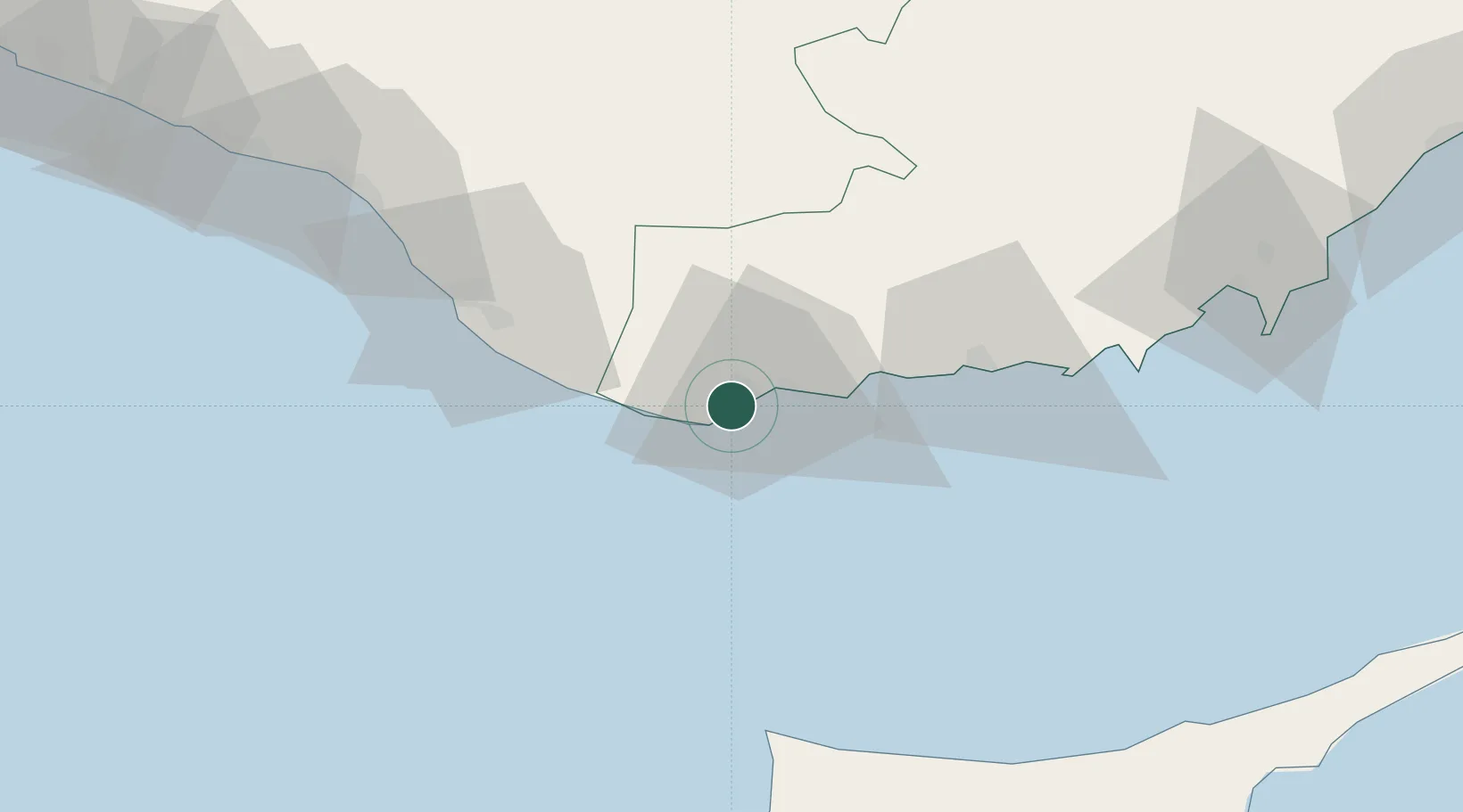
Location
Nearby Logistics Neighbours
Cities
- 1Yesilovacik75 km
- 2Kyrenia93 km
- 3Alanya93 km
- 4Tasucu95 km
- 5Karavostasi104 km
Airports
Trade Zones
- 1Karaman Organized Industrial Zone134 km
- 2Famagusta Free Port and Zone143 km
- 3Larnaca Free Zone145 km
- 4Limassol Free Port158 km
- 5Mersin Free Zone182 km
DatabookThe Record of Consolidated Knowledge
Türkiye beyond logistics?