Transport Functions
Port
Hub Profile
Place type
Populated place
Region
Mersin
Population
3,877
Time zone
Europe/Istanbul
Elevation
9 m
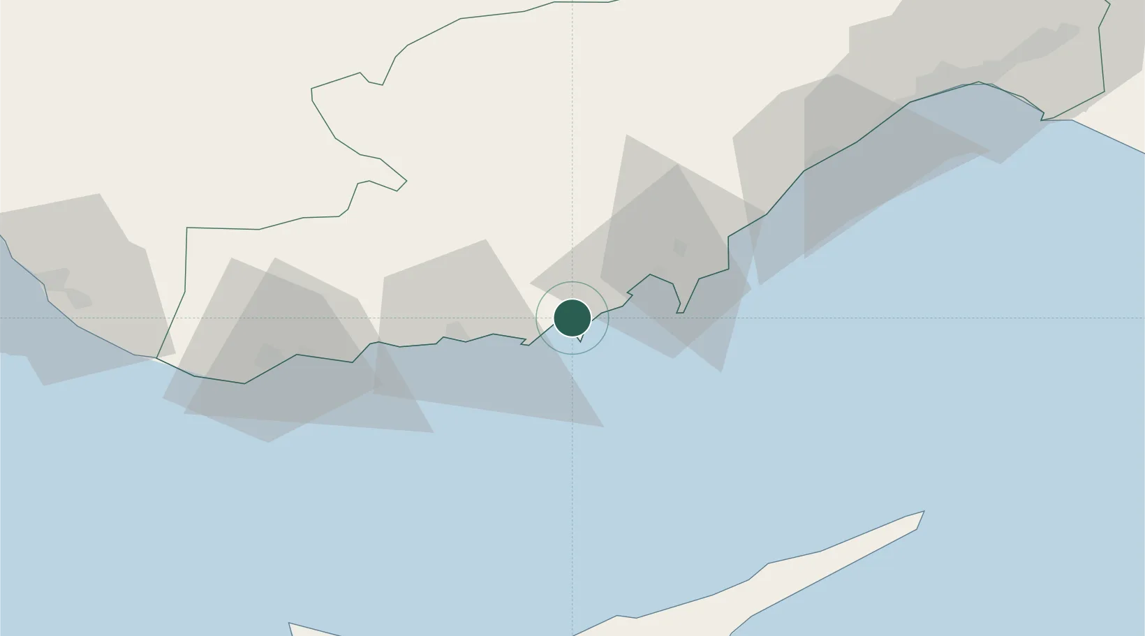
Location
Nearby Logistics Neighbours
Cities
- 1Tasucu22 km
- 2Anamur75 km
- 3Kyrenia101 km
- 4Mersin-Free Zone109 km
- 5Nicosia118 km
Airports
Trade Zones
- 1Mersin Free Zone112 km
- 2Karaman Organized Industrial Zone117 km
- 3Mersin Tarsus Organized Industrial Zone118 km
- 4Famagusta Free Port and Zone121 km
- 5Larnaca Free Zone145 km
DatabookThe Record of Consolidated Knowledge
Türkiye beyond logistics?