Transport Functions
Port
Hub Profile
Place type
Urban district
Region
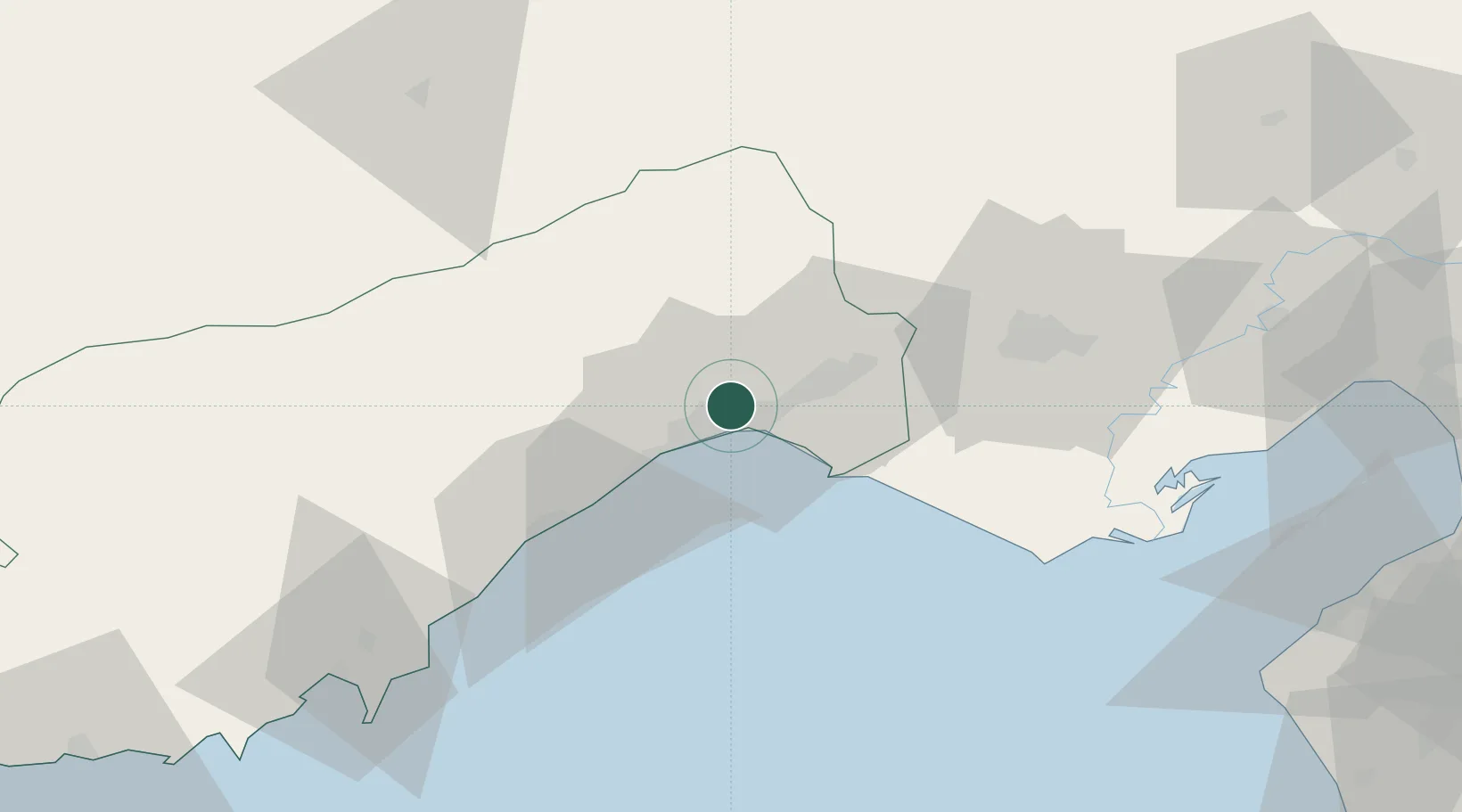
Mersin
Time zone
Europe/Istanbul
Elevation
21 m
Location
Nearby Logistics Neighbours
Cities
- 1Kazanli6 km
- 2Mersin-Free Zone10 km
- 3Mersin12 km
- 4Pozanti63 km
- 5Karatas70 km
Ports
- 1Mersin10 km
- 2Tasucu95 km
- 3Botas110 km
- 4Toros Gubre113 km
- 5Yakacik133 km
Airports
- 1Çukurova International Airport33 km
- 2Adana Şakirpaşa Airport53 km
- 3İncirlik Air Base66 km
- 4Hatay Airport152 km
- 5Latakia International Airport198 km
Trade Zones
DatabookThe Record of Consolidated Knowledge
Türkiye beyond logistics?