Transport Functions
Rail
Road
Hub Profile
Place type
District seat
Region
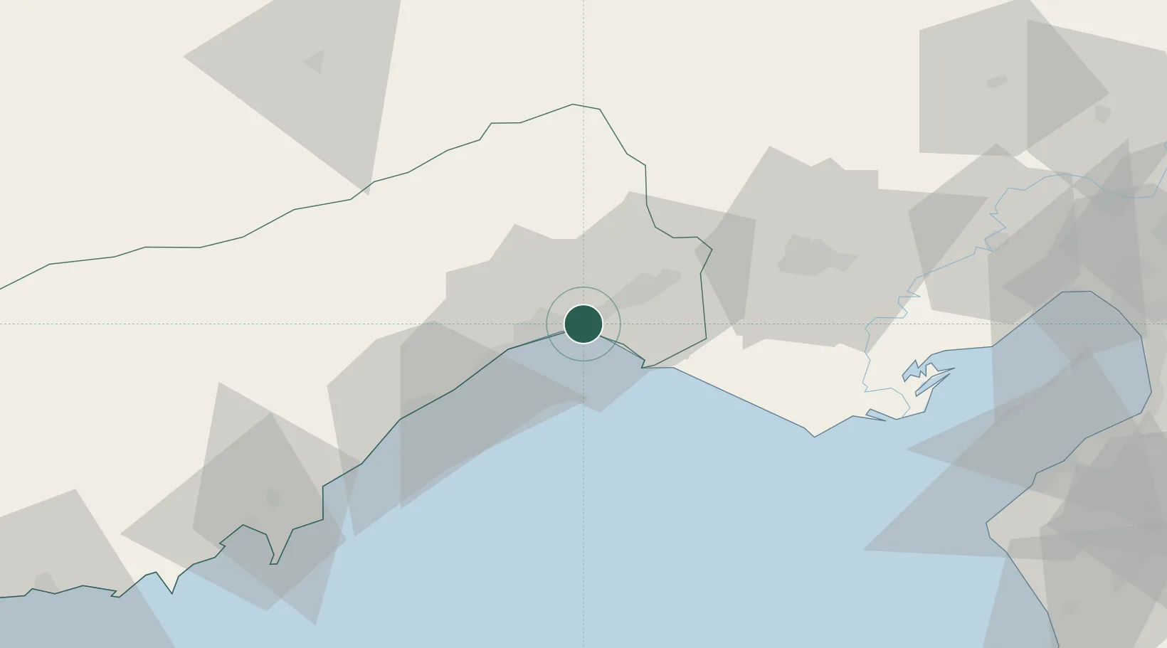
Mersin
Time zone
Europe/Istanbul
Elevation
4 m
Location
Nearby Logistics Neighbours
Cities
- 1Akdeniz6 km
- 2Mersin-Free Zone11 km
- 3Mersin16 km
- 4Karatas65 km
- 5Pozanti66 km
Ports
- 1Mersin11 km
- 2Tasucu96 km
- 3Botas105 km
- 4Toros Gubre109 km
- 5Yakacik128 km
Airports
- 1Çukurova International Airport29 km
- 2Adana Şakirpaşa Airport50 km
- 3İncirlik Air Base63 km
- 4Hatay Airport146 km
- 5Latakia International Airport192 km
Trade Zones
DatabookThe Record of Consolidated Knowledge
Türkiye beyond logistics?