Transport Functions
Port
Rail
Road
Hub Profile
Region
33
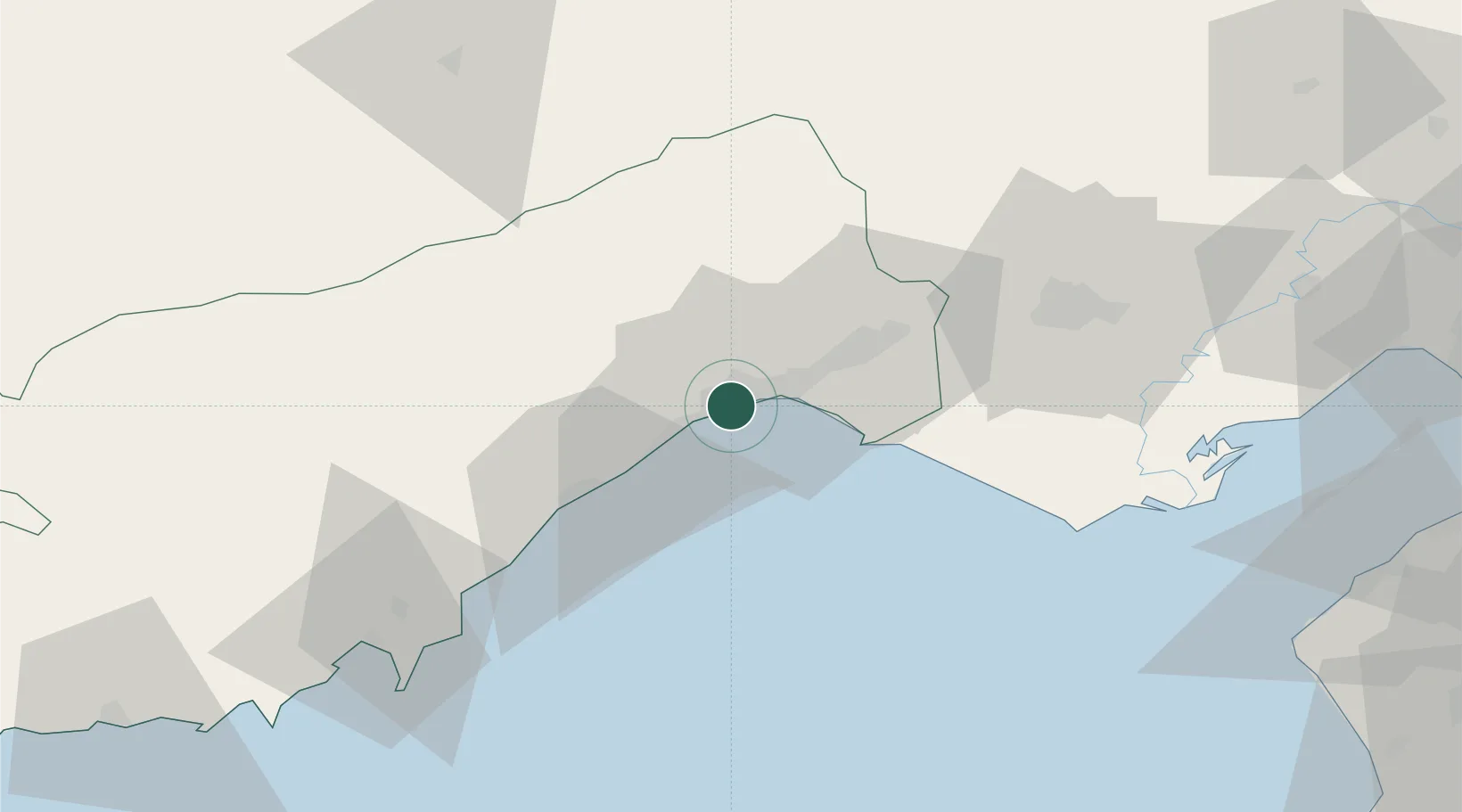
Location
Nearby Logistics Neighbours
Ports
- 1Mersin0 km
- 2Tasucu86 km
- 3Botas116 km
- 4Toros Gubre119 km
- 5Yakacik138 km
Airports
- 1Çukurova International Airport40 km
- 2Adana Şakirpaşa Airport61 km
- 3İncirlik Air Base74 km
- 4Hatay Airport155 km
- 5Lefkoniko Airport / Geçitkale Air Base192 km
Trade Zones
DatabookThe Record of Consolidated Knowledge
Türkiye beyond logistics?