Transport Functions
Rail
Road
Airport
Postal
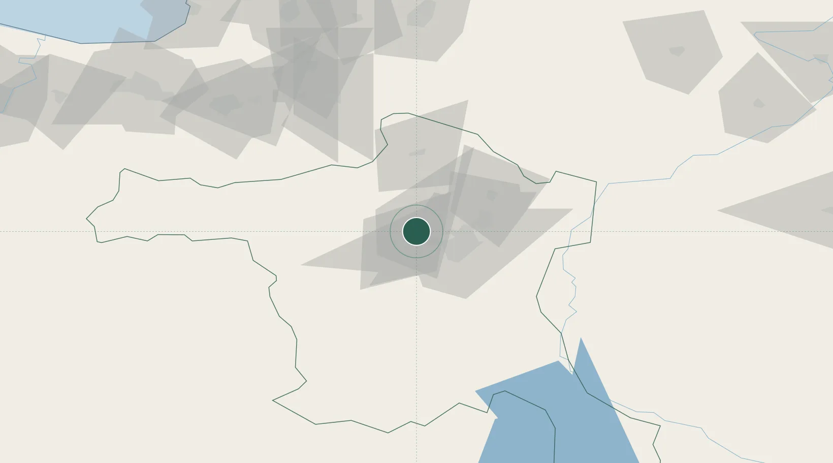
Hub Profile
Place type
National capital
Region
Ankara
Population
3,517,182
Time zone
Europe/Istanbul
Elevation
850 m
Logistics facilities
1
Location
Nearby Logistics Neighbours
Cities
- 1Hasanoglan48 km
- 2Elmadag53 km
- 3Karagedik58 km
- 4Gaziler124 km
- 5Kaynasli135 km
Ports
- 1Eregli169 km
- 2Zonguldak169 km
- 3Inebolu233 km
- 4Izmit242 km
- 5Golcuk Burnu249 km
Airports
- 1Akıncı Air Base6 km
- 2Etimesgut Air Base15 km
- 3Esenboğa International Airport32 km
- 4Temelli Air Base43 km
- 5Sivrihisar Airport129 km
DatabookThe Record of Consolidated Knowledge
Türkiye beyond logistics?