Medium airport · Türkiye
Etimesgut Air BaseLTAD
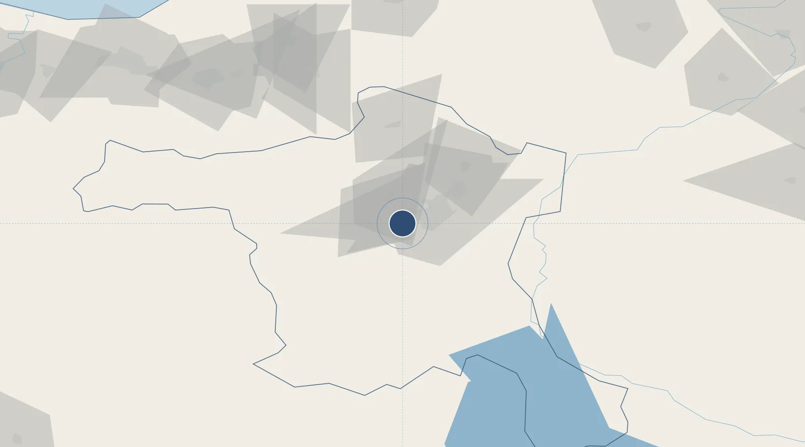
39.9498°, 32.6886°
9,045 ft
Longest runway
1
Runways
2,653 ft
Elevation
Runway & Layout

Radio Frequencies
TWR
122.1 MHz
APP
119.1 MHz
ESENBOGA APP
Navaids
ANK NDB-DME Ankara 0.36 MHz
ETI TACAN Etimesgut 116.60 MHz
Runways · 1
| Runway | Dimensions | Surface | True heading | Lit |
|---|---|---|---|---|
| 11L/29R | 9,045 × 138ft | Asphalt | 113° | ✓ |
Airport Specifications
IATA code
ANK
ICAO code
LTAD
Airport class
Medium airport
Scheduled service
No
Runway surface
Asphalt
Served city
Ankara
Location
Nearby Logistics Neighbours
Airports
- 1Akıncı Air Base18 km
- 2Esenboğa International Airport33 km
- 3Temelli Air Base35 km
- 4Sivrihisar Airport126 km
- 5Çukurhisar Airport147 km
Cities
- 1Ankara15 km
- 2Hasanoglan43 km
- 3Karagedik44 km
- 4Elmadag45 km
- 5Gaziler132 km
Ports
- 1Eregli183 km
- 2Zonguldak184 km
- 3Inebolu244 km
- 4Izmit252 km
- 5Golcuk Burnu259 km
DatabookThe Record of Consolidated Knowledge
Türkiye beyond logistics?