Transport Functions
Multimodal
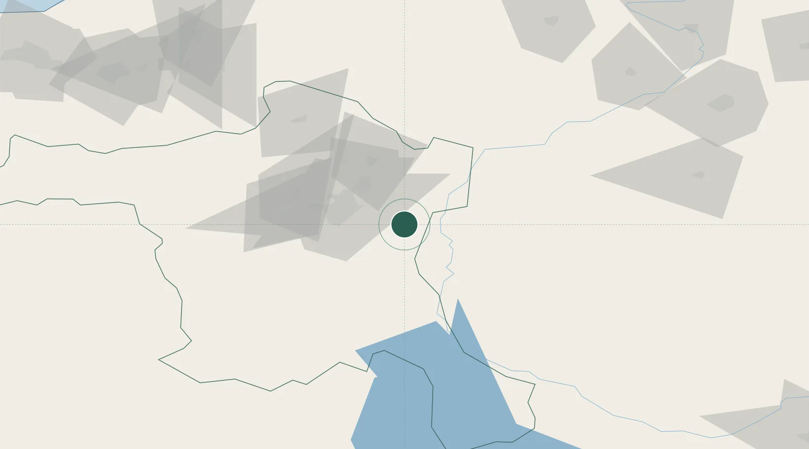
Hub Profile
Place type
Provincial seat
Region
Ankara
Population
25,394
Time zone
Europe/Istanbul
Elevation
1,132 m
Location
Nearby Logistics Neighbours
Cities
- 1Hasanoglan10 km
- 2Karagedik53 km
- 3Ankara53 km
- 4Gaziler115 km
- 5Kaynasli187 km
Airports
- 1Esenboğa International Airport30 km
- 2Etimesgut Air Base45 km
- 3Akıncı Air Base58 km
- 4Temelli Air Base74 km
- 5Kastamonu Airport163 km
DatabookThe Record of Consolidated Knowledge
Türkiye beyond logistics?