Transport Functions
Multimodal
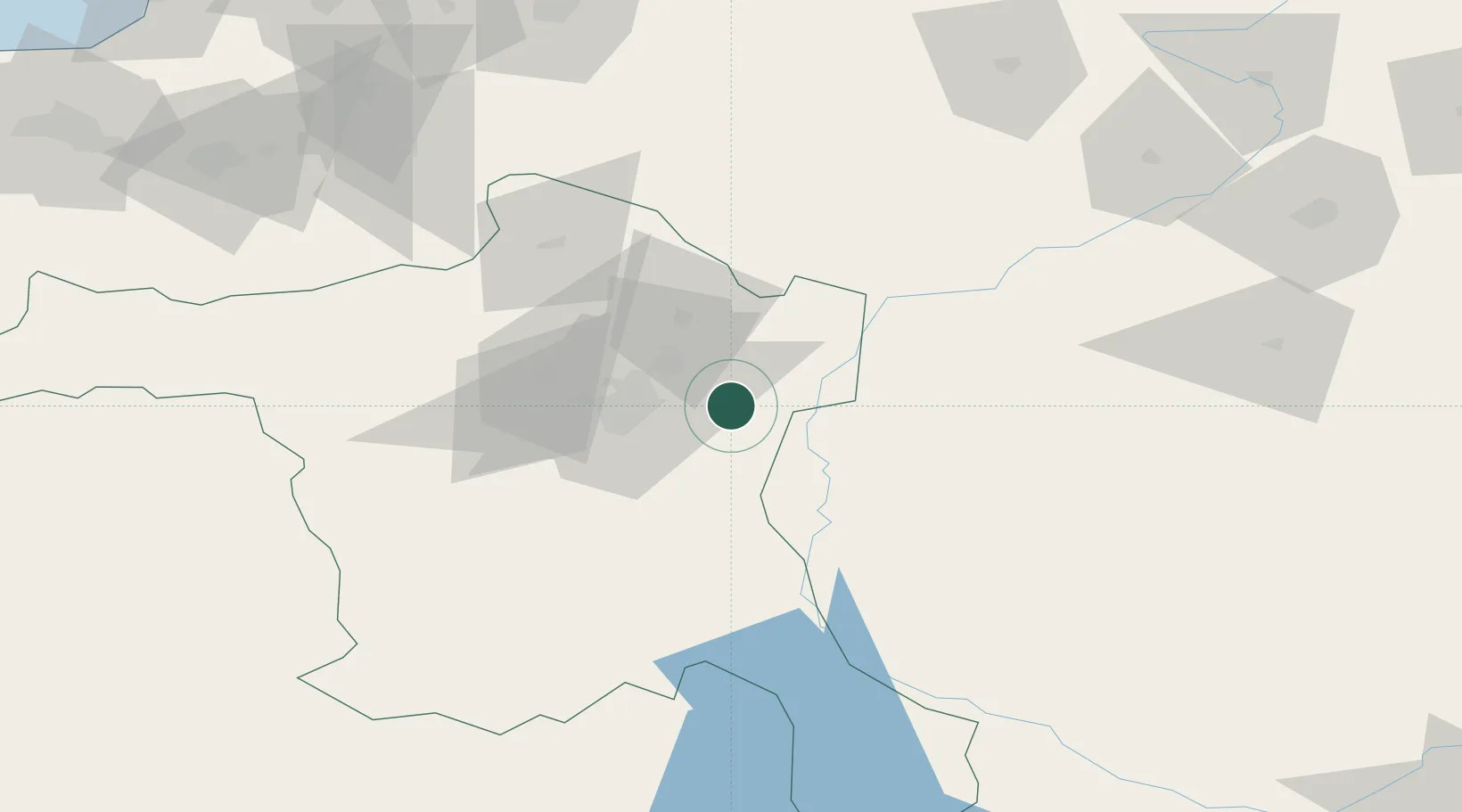
Hub Profile
Place type
Populated place
Region
Ankara
Time zone
Europe/Istanbul
Elevation
1,218 m
Location
Nearby Logistics Neighbours
Airports
- 1Esenboğa International Airport21 km
- 2Etimesgut Air Base43 km
- 3Akıncı Air Base53 km
- 4Temelli Air Base75 km
- 5Kastamonu Airport155 km
DatabookThe Record of Consolidated Knowledge
Türkiye beyond logistics?