UN/LOCODE hub · Türkiye
TRGCA

Gokceada

40.1833°, 25.9167°
7,822
Population
1
Transport functions

Transport Functions

Port
UN/LOCODE

Hub Profile

Place type
Provincial seat
GeoNames
Region
Canakkale
GeoNames
Population
7,822
GeoNames
Time zone
Europe/Istanbul
GeoNames
Elevation
63 m
GeoNames

Location

Location of TRGCA
Natural Earth 10m (public domain) · Canakkale · TRGCA · 40.18, 25.92GoogleOSMYandex

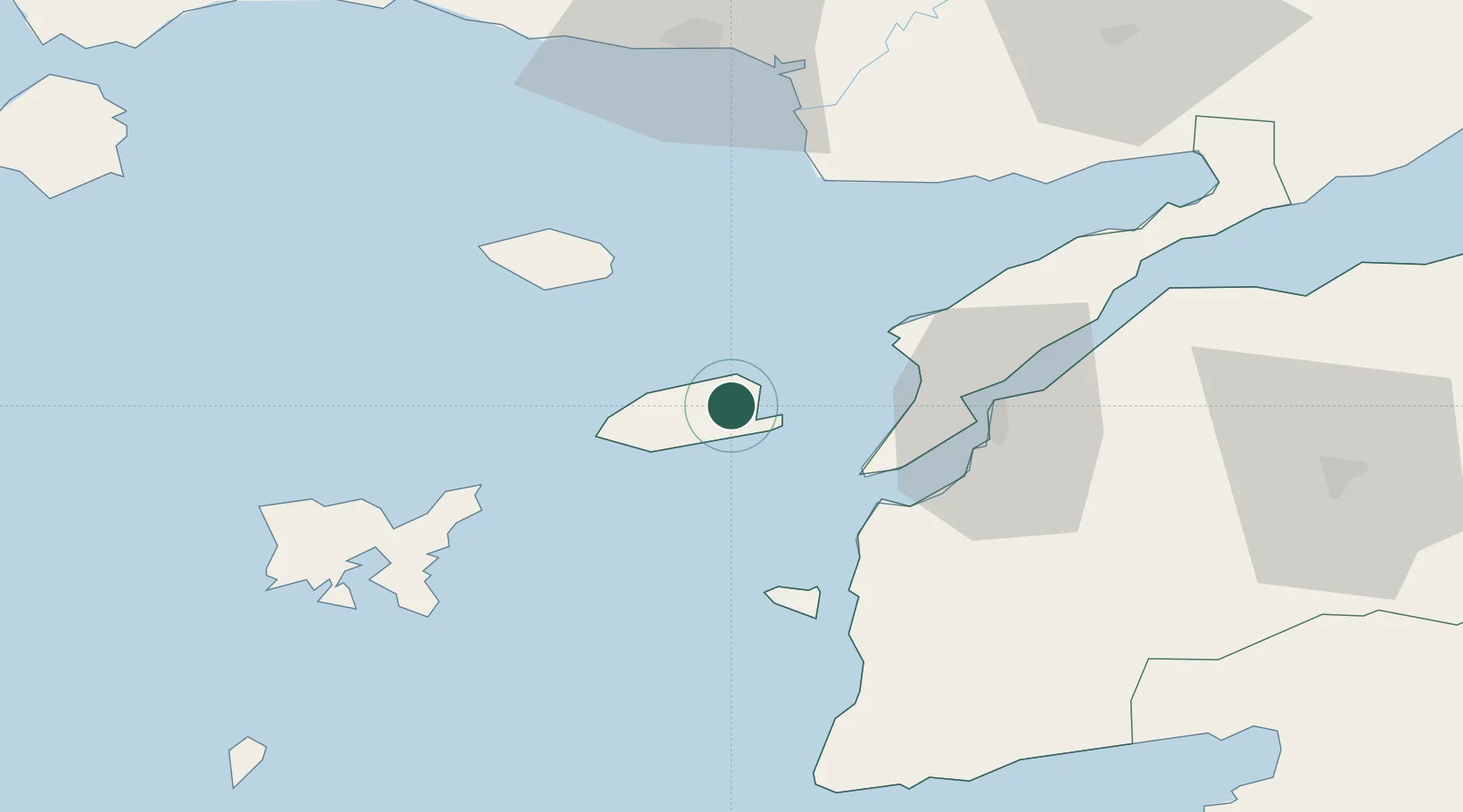
Nearby Logistics Neighbours

Cities
  1. 1Akcansa41 km
  2. 2Bozcaada41 km
  3. 3Çanakkale41 km
  4. 4Samothráki48 km
  5. 5Enez61 km
Nearest neighbours — logibook spatial index (haversine) over the source coordinates
Ports
  1. 1Eceabat38 km
  2. 2Canakkale41 km
  3. 3Gelibolu68 km
  4. 4Alexandroupoli72 km
  5. 5Lagos112 km
Nearest neighbours — logibook spatial index (haversine) over the source coordinates
Airports
  1. 1Çanakkale Airport44 km
  2. 2Limnos Airport65 km
  3. 3Alexandroupoli Democritus Airport75 km
  4. 4Keşan Air Base89 km
  5. 5Balıkesir Koca Seyit Airport117 km
Nearest neighbours — logibook spatial index (haversine) over the source coordinates
Trade Zones
  1. 1Balikesir Organized Industrial Zone177 km
  2. 2Svilengrad Free Economic Zone178 km
  3. 3Aliaga Kimya Ihtisas ve Karma Organized Industrial Zone180 km
  4. 4Izmir Free Zone195 km
  5. 5European Free Zone201 km
Nearest neighbours — logibook spatial index (haversine) over the source coordinates
DatabookThe Record of Consolidated Knowledge
Türkiye beyond logistics?
Browse databook

All Sources

LocationsUN/LOCODE
UN/LOCODE — free
LocationsGeoNames
CC BY 4.0
Portsthe NGA World Port Index
Public domain (US gov)
AirportsOurAirports
Public domain
Trade Zonesthe World Bank SEZ database
CC BY 4.0
Trade ZonesOpen Zone Map
CC BY
← Türkiye locations