Transport Functions
Port
Hub Profile
Place type
District seat
Region
East Macedonia and Thrace
Population
719
Time zone
Europe/Athens
Elevation
275 m
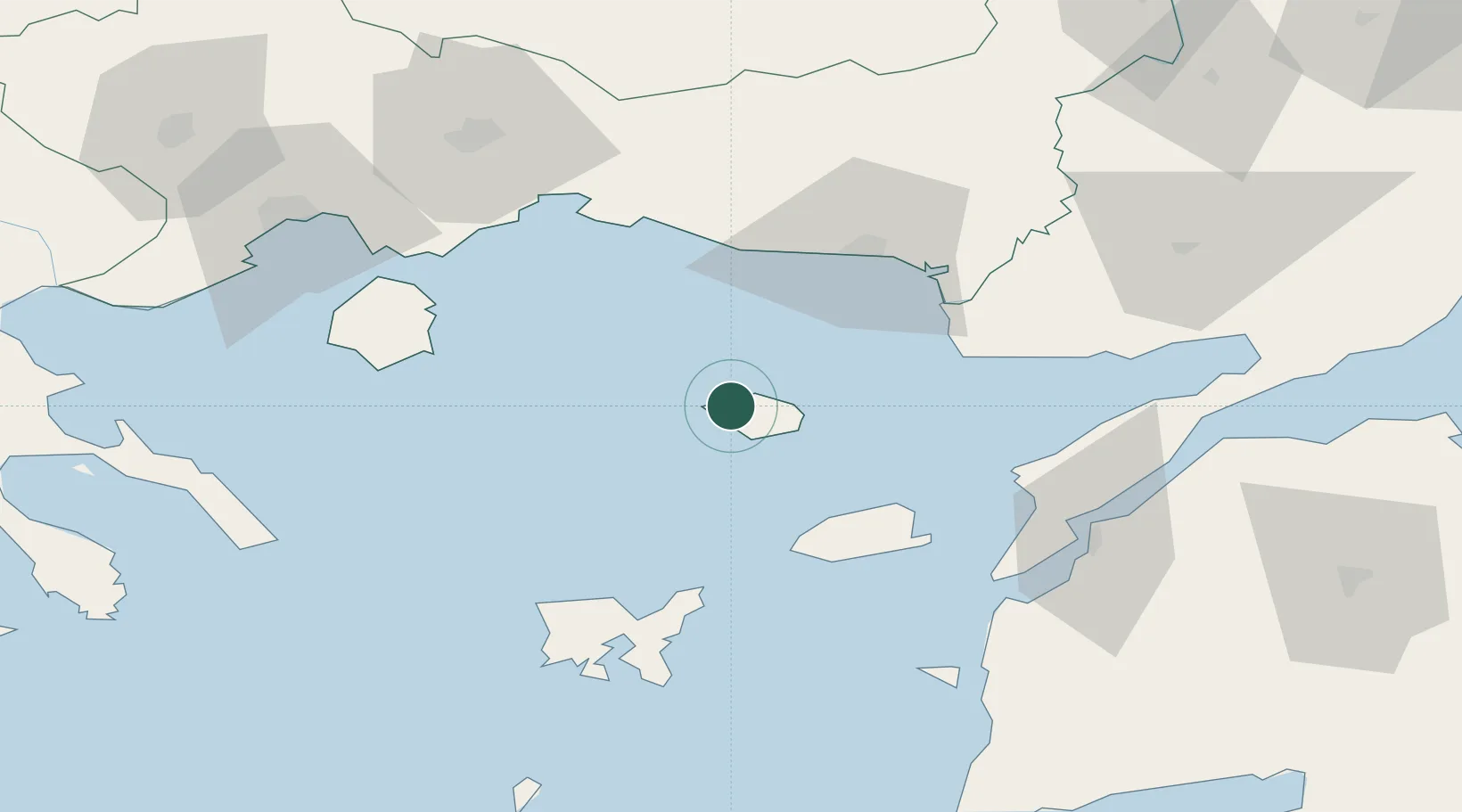
Location
Nearby Logistics Neighbours
Cities
- 1Gokceada48 km
- 2Alexandroúpolis50 km
- 3Enez53 km
- 4Lágos (Pórto-Lágo)68 km
- 5Néa Sánda72 km
Ports
- 1Alexandroupoli50 km
- 2Lagos66 km
- 3Eceabat79 km
- 4Canakkale84 km
- 5Gelibolu98 km
Airports
Trade Zones
DatabookThe Record of Consolidated Knowledge
Greece beyond logistics?